Fukushima Prefecture
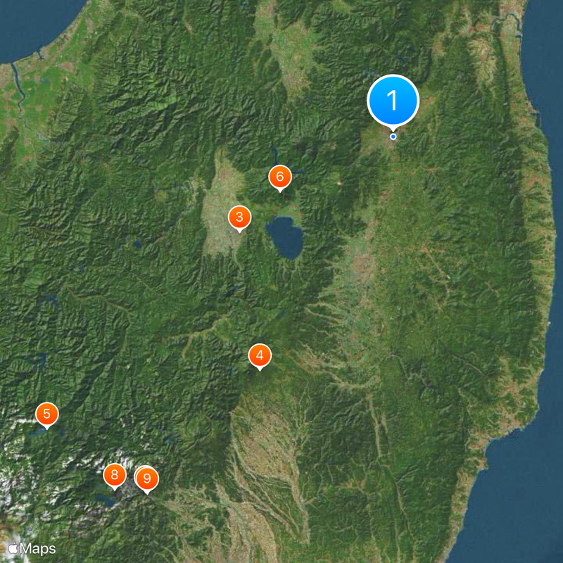
Fukushima Prefecture, Administrative prefecture in northeastern Honshu, Japan.
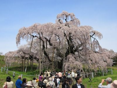
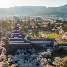
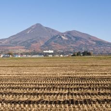
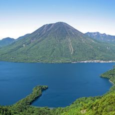
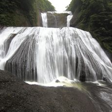
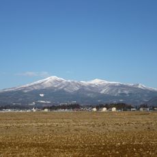
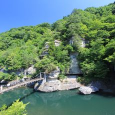
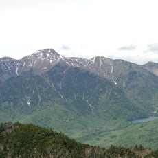
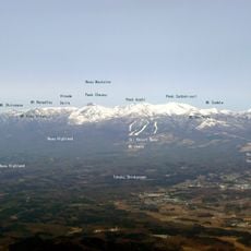
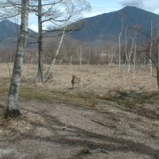
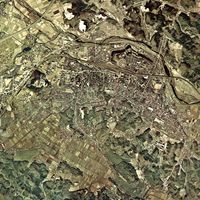
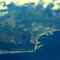
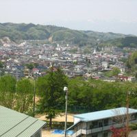
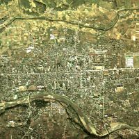
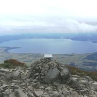
Fukushima Prefecture covers more than 13,000 square kilometers and stretches from Pacific coastlines through fertile plains to mountainous areas with Lake Inawashiro near the center. The landscape shifts between lowland rice paddies, dense forests on mountain slopes, and river valleys that cut through the entire territory.
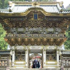
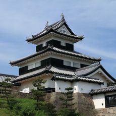
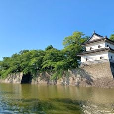
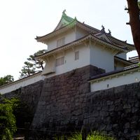
The region transformed from ancient Mutsu Province into Fukushima Prefecture in 1876, marking a significant shift during the Meiji Restoration period. Local clans had governed the area for centuries before the new centralized administrative structure was introduced.
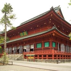
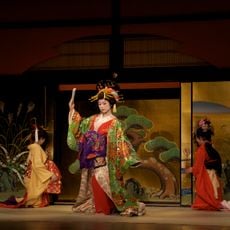
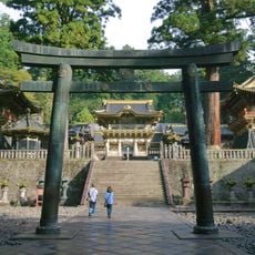
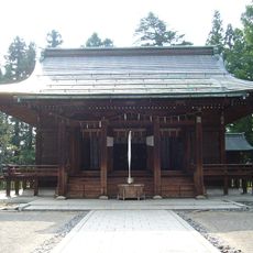
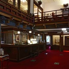
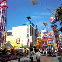
The Soma Nomaoi festival features mounted warriors performing traditional equestrian demonstrations while wearing complete samurai armor and carrying ancient weapons. Local artisans maintain centuries-old lacquerware techniques, and visitors can watch craftspeople shape bowls and decorative objects in small workshops.
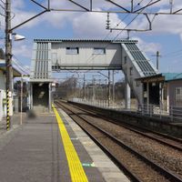
The prefecture connects to Tokyo through high-speed rail services, with trains departing frequently from major stations in Fukushima City, Koriyama, and Iwaki. Many attractions are spread far apart, so planning several days and traveling between different regions makes sense.
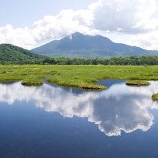
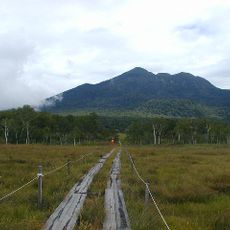
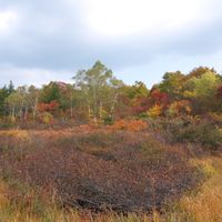
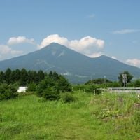
Mount Bandai's 1888 eruption created numerous lakes and wetlands, transforming the landscape into a network of interconnected water features. Some of these lakes now display different color tones due to varying mineral concentrations caused by volcanic activity.
Location: Japan
Inception: August 21, 1876
Capital city: Fukushima
Reference: 070009
Part of: Tōhoku region
Shares border with: Niigata Prefecture, Yamagata Prefecture, Miyagi Prefecture, Gunma Prefecture, Tochigi Prefecture, Ibaraki Prefecture
Website: http://pref.fukushima.lg.jp/site/portal-es
GPS coordinates: 37.75028,140.46775
Latest update: December 14, 2025 19:16
Nikkō Tōshō-gū
134.5 km
Aizuwakamatsu Castle
55.7 km
Sesshō-seki
83.3 km
Oze
140.7 km
Mount Bandai
38.6 km
Futarasan Shrine
134.7 km
Mount Nantai
139.7 km
Rinnō-ji
134.8 km
Komine Castle
72.3 km
Fukuroda Falls
109.9 km
Edo Wonderland Nikko Edomura
126.7 km
Mount Adatara
21.4 km
Ryūzu Falls
142.5 km
Shrines and Temples of Nikkō
134.8 km
Uesugi Shrine
36.5 km
Yudaki Falls
140.6 km
Miharu Takizakura
38.2 kmWestern Village
127.8 km
Tō-no-Hetsuri
72.6 km
Nihonmatsu Castle
17.1 km
Shibata Castle
103 km
Yonezawa Castle
36.5 km
Mount Nikkō-Shirane
143.4 km
Nikkō Kanaya Hotel
134.9 km
Mount Hiuchigatake
137.1 km
Mount Nasu
82.6 km
Okunikkō
141.8 km
Aquamarine Fukushima
97.7 kmVisited this place? Tap the stars to rate it and share your experience / photos with the community! Try now! You can cancel it anytime.
Aizuwakamatsu
Date
Fukushima
Iwaki
Kitakata
Kōriyama
Minamisoma
Motomiya
Nihonmatsu
Shirakawa
Sōma
Sukagawa
Tamura
Adachi district
Date district
Futaba district
Higashishirakawa district
Ishikawa district
Iwase district
Kawanuma district
Minamiaizu district
Nishishirakawa district
Onuma District
Soma District
Tamura district
Yama district
Otama
Kawamata
Koori
Kunimi
Futaba
Katsurao
Kawauchi
Namie
Naraha
Okuma
Tomioka
Hanawa
Samegawa
Tanagura
Yamatsuri
Asakawa
Furudono
Hirata
Ishikawa
Tamakawa
Kagamiishi
Ten-ei
Aizubange
Yanaizu
Yugawa
Hinoemata
Minamiaizu
Shimogo
Tadami
Izumizaki
Nakajima
Nishigo
Yabuki
Aizumisato
Kaneyama
Mishima
Showa
Iitate
Shinchi
Miharu
Ono
Bandai
Inawashiro
Kitashiobara
Nishiaizu
Discover hidden gems everywhere you go!
From secret cafés to breathtaking viewpoints, skip the crowded tourist spots and find places that match your style. Our app makes it easy with voice search, smart filtering, route optimization, and insider tips from travelers worldwide. Download now for the complete mobile experience.
A unique approach to discovering new places❞
— Le Figaro
All the places worth exploring❞
— France Info
A tailor-made excursion in just a few clicks❞
— 20 Minutes