Miharu, Agricultural town in Tamura district, Japan
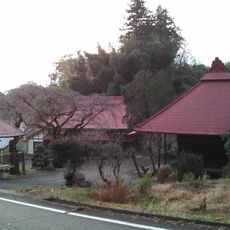
Miharu is a town in Tamura district, Fukushima Prefecture, built across hilly terrain within the Abukuma Mountains. Buildings and structures sit scattered across different elevations, creating a patchwork landscape where human settlement weaves through forested slopes and valleys.
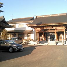
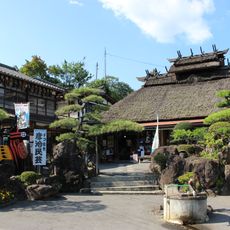
During the Edo period, the town served as a castle town under the Akita clan, who governed the Miharu Domain from 1645 onward. This feudal period shaped how the settlement was organized and developed, influences still visible in its layout today.
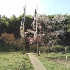
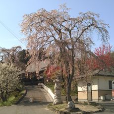
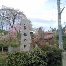
The name Miharu means 'three springs' and refers to the simultaneous flowering of plum, peach, and cherry trees across the town. This blooming season shapes how locals and visitors experience the place throughout the year.
The town is reachable via the JR East Ban'etsu East Line from Koriyama Station, with trains running regularly throughout the day. The hilly terrain means comfortable shoes are important, and visitors should allow time to explore since many spots are scattered and best discovered on foot.
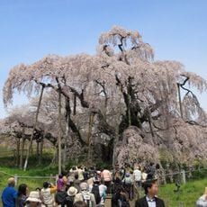
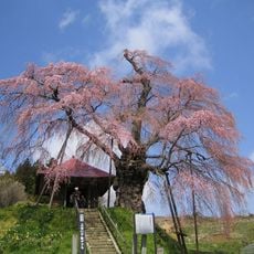
The Miharu Takizakura is a cherry tree over 1,000 years old that has been designated a National Monument since 1922, standing as a commanding presence in the landscape. Its drooping blossoms appear for only a brief period each year, drawing people from far away to witness this fleeting display.
The community of curious travelers
AroundUs brings together thousands of curated places, local tips, and hidden gems, enriched daily by 60,000 contributors worldwide.