Kunimi, town in Date district, Fukushima prefecture, Japan
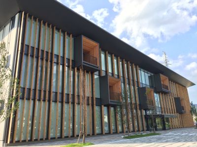
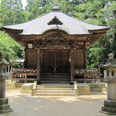
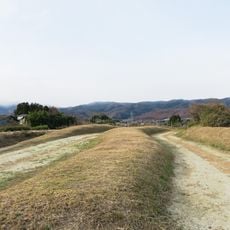
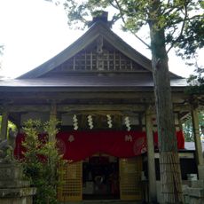
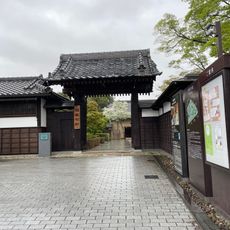
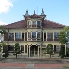
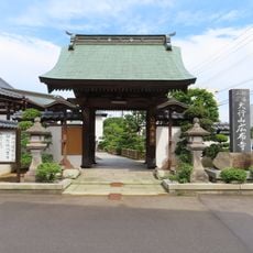
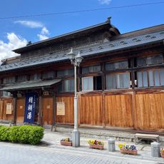
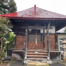
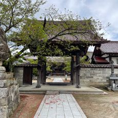
Kunimi is a small town in Fukushima Prefecture located in the Date district and surrounded by countryside. The town has a straightforward layout with residential homes, family-run shops, and traditional buildings with tiled roofs scattered throughout.
The town was established in 1954 when the former city of Fujita merged with several nearby villages. Fujita itself had become a town in 1889 and had developed as a stop on a historic trade route.
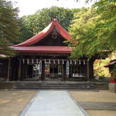
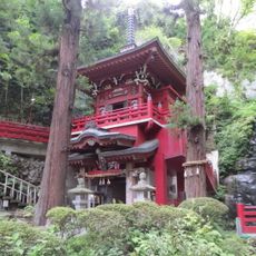
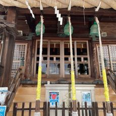
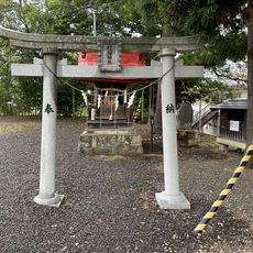
The town's name reflects its historical roots in the region and remains central to local identity. Residents gather for seasonal festivals with traditional music and food, while older community members share local stories that add cultural depth to everyday life.
The town is best reached by car or bus from larger cities in Fukushima Prefecture, as public transportation is limited. Visitors should know that shops are few and most amenities are small, family-run operations.
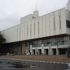
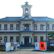
The area was heavily affected by the 2011 Tōhoku earthquake and the town hall suffered damage, yet the community pursued steady rebuilding and recovery efforts. This resilience remains part of the local story and shows how residents responded to this challenge.
The community of curious travelers
AroundUs brings together thousands of curated places, local tips, and hidden gems, enriched daily by 60,000 contributors worldwide.