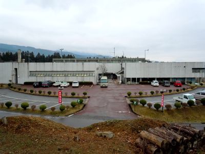
Kitashiobara, village in Yama district, Fukushima prefecture, Japan
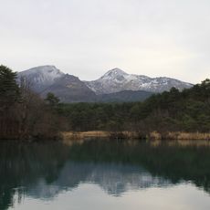
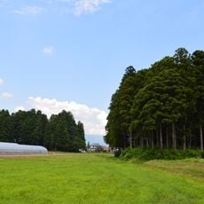
Kitashiobara is a small village in Fukushima Prefecture, Yama district, mostly covered by mountains and forests. The place features several lakes, including the large Lake Hibara surrounded by trees and offering fishing and hiking opportunities. It spans a broad area in the northern part of the Aizu region.
The village was established in the middle of the 20th century through the merger of three smaller towns. It was formerly part of the old Aizu domain of Mutsu Province, showing its long administrative history in Japan.
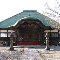
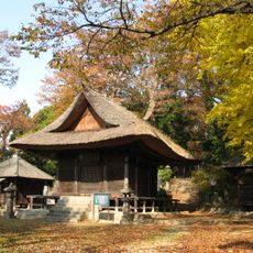
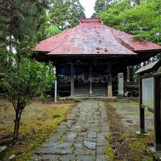
The name Kitashiobara reflects the geographical location north of the salt plains region. In the village, you see traditional houses with tiled roofs built to withstand harsh winters, and small farms growing crops suited to the climate. Local customs are tied closely to the land, and during seasonal festivals, residents wear traditional clothes and celebrate harvests and good weather together.
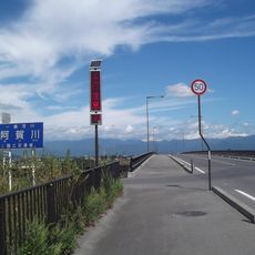
The village has no train station, so you reach it best by car or bus via National Route 459. Local buses and rental cars are your best options for exploring the surrounding lakes and parks.
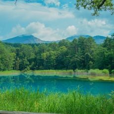
The Goshiki-numa consist of five small lakes with different colors created by mineral deposits and surrounding plants. These colorful lakes are especially popular with photographers and offer a striking sight along their shores during a walk.
The community of curious travelers
AroundUs brings together thousands of curated places, local tips, and hidden gems, enriched daily by 60,000 contributors worldwide.