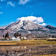
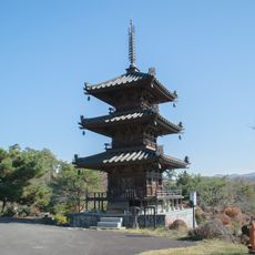
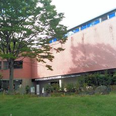
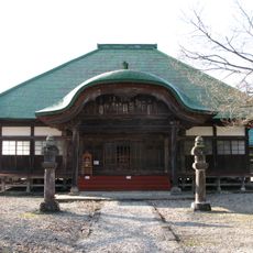
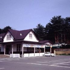
Bandai Highlands, Volcanic plateau in Fukushima Prefecture, Japan.
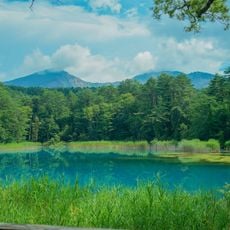
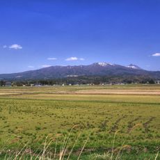
Bandai Highlands, also called Ura-Bandai, is a plateau area at roughly 800 m in northern Fukushima Prefecture, enclosed by Mount Bandai, Mount Adatara and the Azuma mountains within Bandai-Asahi National Park. Its lake and pond group, said to number 200 to 300 and represented by Lake Hibara and Goshikinuma, lies among forests, and the area is crossed by walking trails and toll-free mountain roads.
On 15 July 1888 the collapse of Kobandai during Mount Bandai's eruption sent an estimated 1.2–1.5 billion cubic metres of debris northward, burying the Nagase River and its tributaries and forming Hibara, Onogawa and Akimoto lakes. The avalanche destroyed five villages and 11 hamlets and left 477 dead or missing. From the 1890s, Endo Genmu, Miyamori Tazaemon, Saito Tannojo and Nakamura Yaro led reforestation of 1,340 hectares with some 100,000 pines, cedars and lacquer trees.
The area is called Urabandai, meaning "behind Bandai", because it lies on the northern side of Mount Bandai, opposite the Omote-Bandai facing Lake Inawashiro. The name Bandai Highlands came into use after the war with the growth of tourism. In 1989 Urabandai and Lake Oguninuma were chosen among Japan's 100 Hidden Regions.
Access the area from Inawashiro Station via the JR Ban'etsu West Line or through the Ban-etsu Expressway. Most visitors arrive during warmer months when trails are easily accessible.
A popular walking route passes several ponds where water displays different colors based on mineral content. These colored waters resulted from geological processes following the volcanic eruption.
The community of curious travelers
AroundUs brings together thousands of curated places, local tips, and hidden gems, enriched daily by 93,455 contributors worldwide.