Mount Bandai, Stratovolcano in Fukushima Prefecture, Japan.
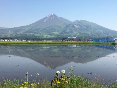
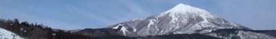
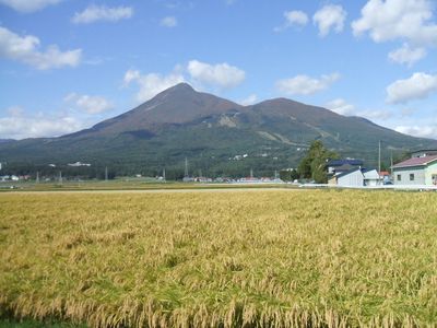
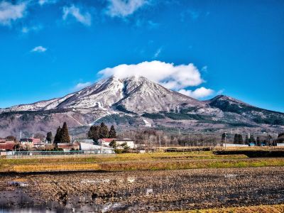
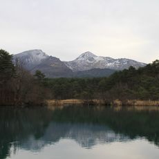
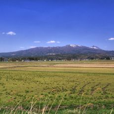
Mount Bandai rises to 1819 meters (5968 feet) and shows several peaks including Akahani and Kushigamine, formed through volcanic activity. The northern side looks jagged from past eruptions, while the southern slopes run gentler and are covered with forest.
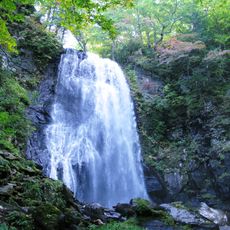
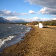
The 1888 eruption destroyed the northern flank and created a huge debris flow that buried several valleys. This event changed the landscape permanently and led to the formation of new lakes in the area below.
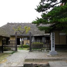
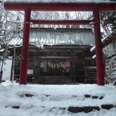
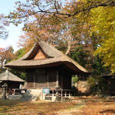
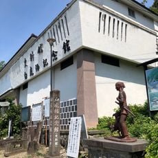
The name Bandai means both tray and a thousand years, connecting the mountain to local stories about longevity. Small wooden figurines sold at trailheads are believed to offer protection for those heading up.
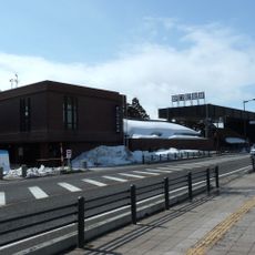
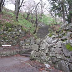
The climb takes between four and six hours for the round trip depending on the route. The Happoudai entrance offers the shortest path and suits most hikers, while other trails require more stamina.
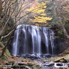
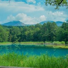
The Goshiki-numa lakes below the northern flank show different shades from green through blue to red depending on mineral content and light. Each of these lakes carries its own name and changes appearance with the seasons.
Location: Kitashiobara
Location: Bandai
Elevation above the sea: 1,819 m
Made from material: andesite
Part of: 100 Famous Japanese Mountains, Top 100 Geological Sites in Japan
Address: Mount Bandai, Bandaisan, Inawashiro, Yama District, Fukushima 969-3100, Japan
GPS coordinates: 37.60098,140.07224
Latest update: December 13, 2025 15:34
Morohashi Museum of Modern Art
6.3 km
Bandai Highlands
8.9 km
Hideyo Noguchi Memorial Museum
7.2 km
Enichi-ji
8.3 km
Château d'Inawashiro
5.2 km
Tenkyōkaku
9.2 km
Houkokuji Aizubetsuin(Aizu-mura)
11.8 km
Kobiragata Tenman-gū
10.1 km
Ōtsukayama Kofun
15 km
Aquamarine Inawashiro Kingfishers Aquarium
4.4 km
達沢不動滝
14 km
Takizawa Honjin
14.9 km
Iwahashi-jinja
4.4 km
Mine Boulder
4.5 km
Inawashiro Midorinomura
4.5 km
Goshikinuma Ponds
5.6 km
Hachiyō-ji
13 km
Onogawa Fudō Falls
11 km
延命寺
14.5 km
Takeyakannon
13.6 km
切立橋
12.8 km
滝沢観音
14.5 km
Aizu Jibo Dai-Kannon
12.1 km
Akimotoko Dam
6.8 km
Byakkotai Museum
15 km
Aizu -Yonezawa Kaido Main Road, Hibara Historical Museum
14.3 km
Mount Nekomagadake
4 km
Tenjin Beach
10 kmVisited this place? Tap the stars to rate it and share your experience / photos with the community! Try now! You can cancel it anytime.
Discover hidden gems everywhere you go!
From secret cafés to breathtaking viewpoints, skip the crowded tourist spots and find places that match your style. Our app makes it easy with voice search, smart filtering, route optimization, and insider tips from travelers worldwide. Download now for the complete mobile experience.
A unique approach to discovering new places❞
— Le Figaro
All the places worth exploring❞
— France Info
A tailor-made excursion in just a few clicks❞
— 20 Minutes