Enable Location

We need your location to show you interesting places around you

Discover nearby places

Find interesting locations and hidden gems around you

Precise directions

Get accurate directions and distances to places

Your location is never shared with other users. It's only used when you tap the location button.

Mount Adatara

Log in to your account

Start exploring — it's free

Trusted by 61,421 travelers worldwide

Continue with Google
Continue with Apple
or

We will send you a code to connect

By continuing, you accept our Terms and Conditions and our Privacy Policy

Check your inbox

We've sent a pincode in your inbox. Please enter the code below.

Mount Adatara

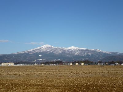
Mount Adatara, Volcanic summit in Fukushima Prefecture, Japan

Description

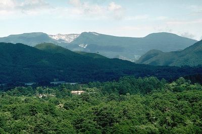
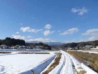
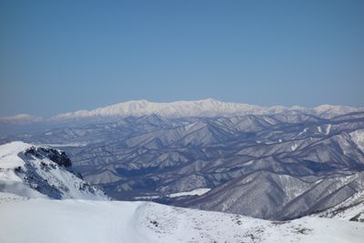
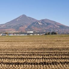
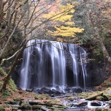
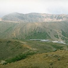
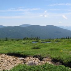
Mount Adatara is a stratovolcano made of andesite rock that rises to 1,728 meters, forming a broad mountain range with multiple summits across the landscape. The terrain features varied elevations and creates different environments as you move through the area.

History

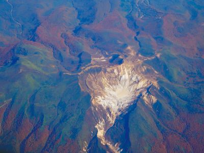
The mountain formed through volcanic activity and has been a defining feature of the Fukushima region for centuries. A major tragedy struck in 1900 when an eruption claimed many lives, marking a turning point in how the mountain was perceived.

Culture

The mountain holds a place in Japanese poetry and literature, shaping how people have understood this landscape over generations. Visitors walking through the area can sense this deeper meaning by exploring local references and written accounts from the past.

Practical

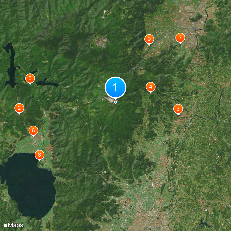
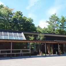
The Okudake Trailhead at Adatara Kogen Ski Resort is the main entry point for hikers beginning their ascent. Those wanting to avoid strenuous walking can use a cable car system that brings visitors to a viewing platform at higher elevation.

Did you know?

Active fumaroles and hot springs exist within the summit crater, showing that the mountain remains geologically active today. These steaming vents and warm water are visible signs of ongoing volcanic processes beneath the surface.

Elevation above the sea
1,728 m
Made from material
andesite
Part of
100 Famous Japanese Mountains
GPS coordinates
37.62111,140.28787
Latest update
December 14, 2025 19:48

AroundUs brings together thousands of curated places, local tips, and hidden gems, enriched daily by 60,000 contributors worldwide. Discover all places nearby (Fukushima Prefecture).

« Mount Adatara - Volcanic summit in Fukushima Prefecture, Japan » is provided by Around Us (aroundus.com). Images and texts are derived from Wikimedia project under a Creative Commons license. You are allowed to copy, distribute, and modify copies of this page, under the conditions set by the license, as long as this note is clearly visible.

Discover hidden gems everywhere you go!

From secret cafés to breathtaking viewpoints, skip the crowded tourist spots and find places that match your style. Our app makes it easy with voice search, smart filtering, route optimization, and insider tips from travelers worldwide. Download now for the complete mobile experience.

Around Us App Screenshot

A unique approach to discovering new places

Le Figaro

All the places worth exploring

France Info

A tailor-made excursion in just a few clicks

20 Minutes

Around Us
Travel Guide & Maps
Download

Send to your phone

QR Code
1

Open the camera app on your mobile.

2

Point at the QR code with your camera. A notification will appear.

3

Tap the notification to open the link.