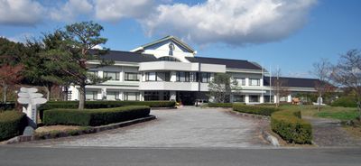
Iitate, Agricultural village in Soma District, Japan
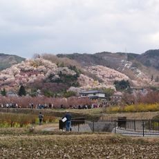
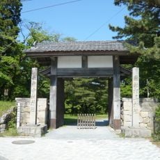
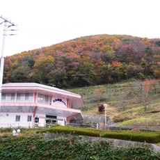
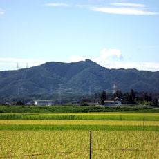
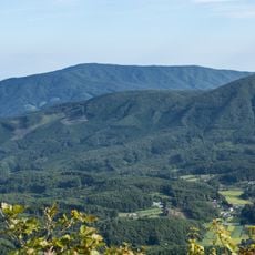
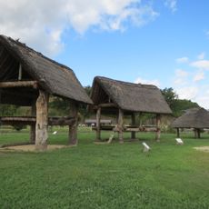
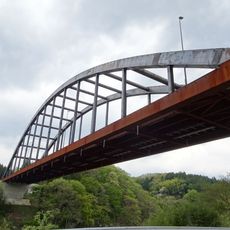
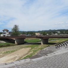
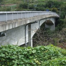
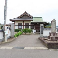
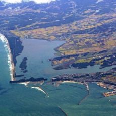
Iitate is a rural village situated on the Abukuma Plateau in northeastern Fukushima Prefecture at an elevation of around 500 meters. The landscape is defined by agricultural fields and forested areas that shape the village's countryside character.
The village was formed in 1956 through the merger of two separate settlements, Iiso and Otate. This consolidation created a new administrative unit in the Soma District.
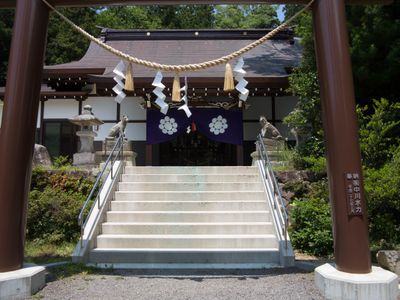
The municipal symbols of Iitate incorporate the golden lily, red pine tree, and singing bush warbler, representing the natural elements of the region.
The village has no passenger train service, making a car or rental vehicle the most practical way to arrive. National Route 399 provides the main road connection to surrounding areas and neighboring communities.
The village experienced complete evacuation following the 2011 nuclear incident, when radiation levels rose dramatically. Recovery and the gradual return of residents have been central to the area's rebuilding efforts since then.
The community of curious travelers
AroundUs brings together thousands of curated places, local tips, and hidden gems, enriched daily by 60,000 contributors worldwide.