Enable Location

We need your location to show you interesting places around you

Discover nearby places

Find interesting locations and hidden gems around you

Precise directions

Get accurate directions and distances to places

Your location is never shared with other users. It's only used when you tap the location button.

Oze

Log in to your account

Start exploring — it's free

Trusted by 61,908 travelers worldwide

Continue with Google
Continue with Apple
or

We will send you a code to connect

By continuing, you accept our Terms and Conditions and our Privacy Policy

Check your inbox

We've sent a pincode in your inbox. Please enter the code below.

Oze, National park and plateau in Gunma Prefecture, Japan

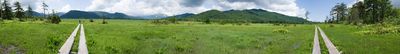
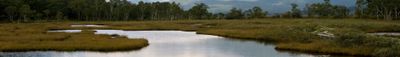
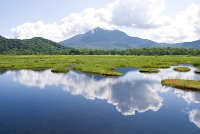
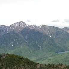
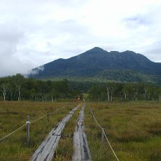
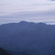
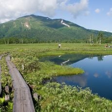
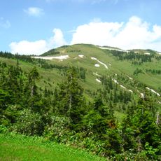
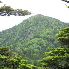
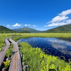
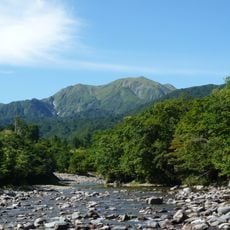
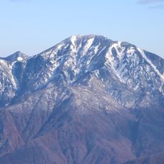
Oze is a raised bog in northern Japan that extends across three prefectures and covers about 600 hectares. The highest points reach 2,356 m (7,730 ft), while the core area sits at roughly 1,400 m (4,593 ft) and becomes accessible through boardwalks.

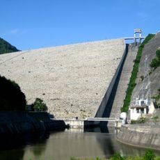
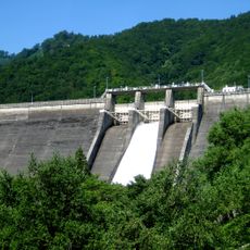
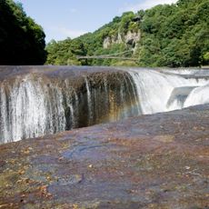
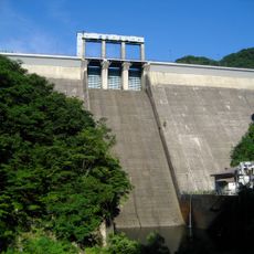
A botanist began the first scientific exploration in 1889 and brought attention to the need for protection. The government designated the area as a Special Natural Monument in 1934 after citizen protests stopped a dam construction project.

The name comes from the Ainu word for foxtail grass that once grew in the wetlands. The wooden paths follow routes that fishermen and gatherers used for centuries to travel between villages.

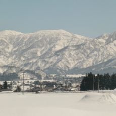
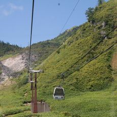
The main visiting season runs from May to October when trails remain snow-free and mountain lodges operate. Hikers should start early in the morning since afternoon fog can limit visibility and summer thunderstorms occur frequently.

The wooden boardwalks total roughly 65 km (40 mi) in length and get repaired each spring by volunteer crews. The bog stores more water than a lake of the same size and acts like a natural sponge for the surrounding highlands.

The community of curious travelers

AroundUs brings together thousands of curated places, local tips, and hidden gems, enriched daily by 60,000 contributors worldwide.

Start exploring
Location
Location
Location
Elevation above the sea
1,660 m
GPS coordinates
36.93700,139.25102
Latest update
December 12, 2025 22:26
« Oze - National park and plateau in Gunma Prefecture, Japan » is provided by Around Us (aroundus.com). Images and texts are derived from Wikimedia project under a Creative Commons license. You are allowed to copy, distribute, and modify copies of this page, under the conditions set by the license, as long as this note is clearly visible.

Discover hidden gems everywhere you go!

From secret cafés to breathtaking viewpoints, skip the crowded tourist spots and find places that match your style. Our app makes it easy with voice search, smart filtering, route optimization, and insider tips from travelers worldwide. Download now for the complete mobile experience.

Around Us App Screenshot

A unique approach to discovering new places

Le Figaro

All the places worth exploring

France Info

A tailor-made excursion in just a few clicks

20 Minutes

Around Us
Travel Guide & Maps
Download

Send to your phone

QR Code
1

Open the camera app on your mobile.

2

Point at the QR code with your camera. A notification will appear.

3

Tap the notification to open the link.