Kumano Hongū Taisha, Shinto shrine in Wakayama Prefecture, Japan
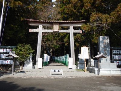
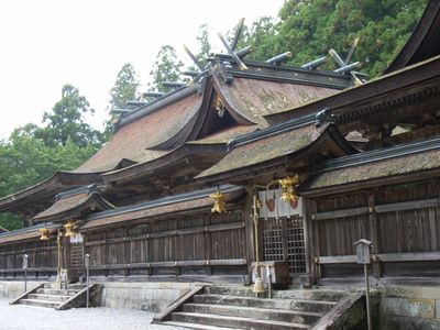
Kumano Hongū Taisha is a sacred site of the Kumano tradition in Wakayama Prefecture, one of three religious complexes along centuries-old pilgrimage routes in the mountains. The main hall called Musubi-dono connects three separate buildings under a continuous roof covered in black bark and follows the classical architecture of the region.
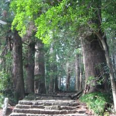
The original location stood on a sandbank called Oyunohara surrounded by the Kumano and Otonashi rivers until flooding in 1889 destroyed twelve buildings. The community moved the remaining structures two years later to higher ground above the river valley.
The main deity here bears the name Ketsumimiko-no-Ōkami and appears in the oldest surviving Japanese text, the Kojiki from the eighth century. Pilgrims wash themselves at the nearby river banks before entering the sacred buildings, performing a purification practice that has continued for centuries.
Access involves a steep path from the parking area that winds through dense forest and reaches the entrance after roughly ten minutes on foot. Visitors should wear comfortable shoes and note that certain areas of the complex remain closed during religious ceremonies.
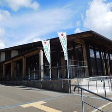
The black three-legged crow Yatagarasu symbolizes the mythical bird with three legs that appears in ancient texts as a heavenly messenger and now serves as the emblem of the Japan Football Association. The symbol appears engraved in several places around the complex and links religious lore with everyday culture.
The community of curious travelers
AroundUs brings together thousands of curated places, local tips, and hidden gems, enriched daily by 60,000 contributors worldwide.