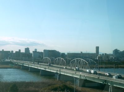
Horikiri Bridge, Road bridge in Yanagihara, Japan
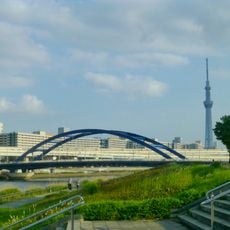
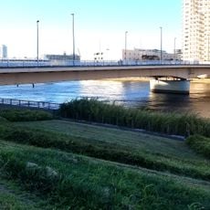
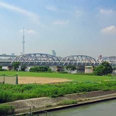
Horikiri Bridge crosses both the Arakawa and Ayase Rivers while carrying four traffic lanes of Tokyo Metropolitan Road Route 314. The structure features wide sidewalks for pedestrians and sits on support pillars that span across both waterways.
The bridge was completed in 1967 as an important infrastructure project that improved traffic in post-war Tokyo. It enabled better connections between growing neighborhoods during the city's rapid urban expansion following World War Two.
The bridge links two different Tokyo neighborhoods, creating a meeting point where residents and visitors can see across both river systems and the surrounding urban landscape. It serves as a practical connector where the daily rhythms of separate communities intersect.
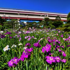
The sidewalk is wide and offers plenty of space for pedestrians alongside moving traffic. You will have an easier visit if you cross during non-peak hours when the bridge is less crowded.
The bridge uses a special construction method with drop-in spans that was chosen in Japan for economic reasons. This technique allowed the structure to be built more affordably while remaining stable across both rivers.
The community of curious travelers
AroundUs brings together thousands of curated places, local tips, and hidden gems, enriched daily by 60,000 contributors worldwide.