
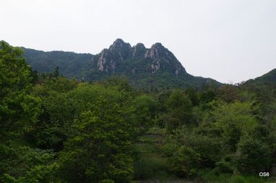
Mikuradake Prefectural Natural Park, natural park of Hiroshima prefecture, Japan
Location: Otake
Inception: November 23, 1971
GPS coordinates: 34.30917,132.15722
Latest update: March 7, 2025 22:55
Itsukushima Shrine
15 km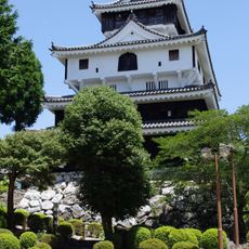
Iwakuni Castle
15 km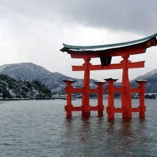
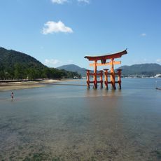
Itsukushima Shrine Ōtorii
14.9 km
Umi-Mori Art Museum
11.5 km
Boat Race Miyajima
13.7 km
Daishō-in
15 km
Senjōkaku
15 km
Itsukushima
15.1 km
Daigan-ji
14.9 km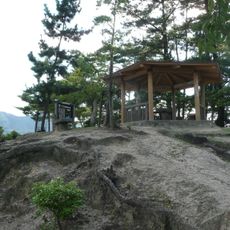
Miyao Castle
15.2 km
Miyama Shrine
15.2 km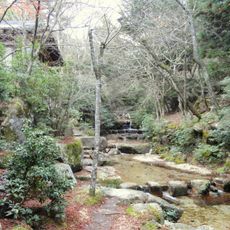
Erosion and Sediment Control Work for the Momijidani River Park
15.2 km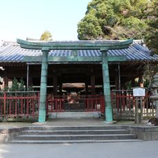
Sannō Shrine
15.1 km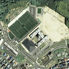
Hatsukaichi Green Field
14.8 km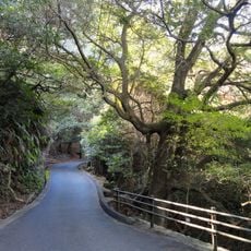
Miyajima Natural Botanical Garden
12.4 km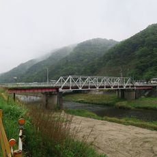
両国橋
11.6 km
Jōkun-ji
11.9 km
建立寺
11.2 km
Simose Art Museum
9.9 km
Miyajima Public Aquarium
14.6 km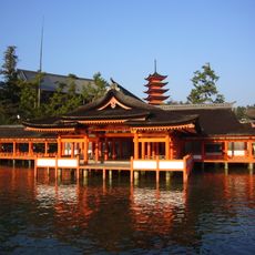
Haraiden of Marōdo Shrine
15 km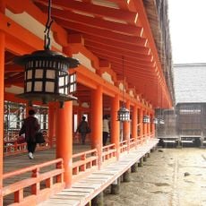
West Corridor
15 km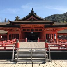
Haraiden of the Main Shrine
15 km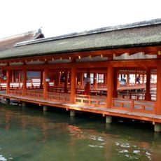
East Corridor
15 km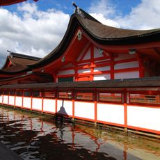
Honden, Heiden and Haiden of the Main Shrine
15 km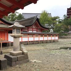
Honden, Heiden and Haiden of Marōdo Shrine
15 km
万徳院
14.8 km
Kamei Castle
9.4 kmReviews
Visited this place? Tap the stars to rate it and share your experience / photos with the community! Try now! You can cancel it anytime.
Discover hidden gems everywhere you go!
From secret cafés to breathtaking viewpoints, skip the crowded tourist spots and find places that match your style. Our app makes it easy with voice search, smart filtering, route optimization, and insider tips from travelers worldwide. Download now for the complete mobile experience.

A unique approach to discovering new places❞
— Le Figaro
All the places worth exploring❞
— France Info
A tailor-made excursion in just a few clicks❞
— 20 Minutes