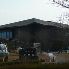
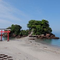
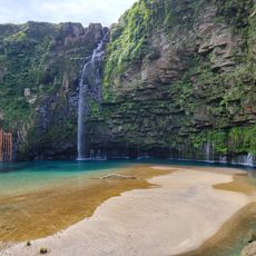
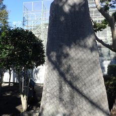
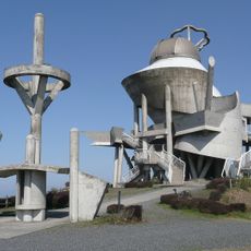
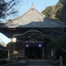
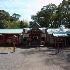
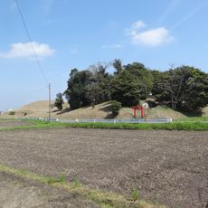
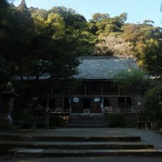
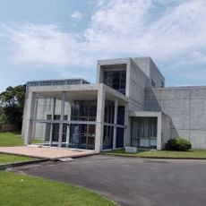
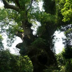
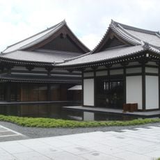
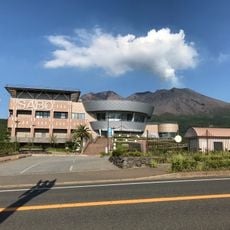
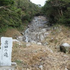
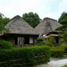
Nishihara, Japonya'da kasaba (chōchō)
Location: Kanoya
Inception: January 1, 1970
GPS coordinates: 31.37683,130.83487
Latest update: April 6, 2025 09:34
Kanoya Air Base Museum
486 m
Shibushi Castle
28.5 km
Arahira-tenjin
5.5 km
Japan National Route 448
24.7 km
Japan National Route 224
23.8 km
Ogawa Falls
19.7 km
Sakurajima Eruption Monument
27.9 km
Château de Takayama (pays Osumi)
14.1 km
Kihoku Astronomical Museum
24.3 km
宝満寺 (志布志市)
28.6 km
Ibusuki Shrine
24.3 km
Yokose Kofun
17.6 km
Haragosha Shrine
26.2 km
Daijiji
27.4 km
Shijūkusho-jinja
11.3 km
Kirishimagaoka Park
3.9 km
Kiire no ryukyukogai sanchi
26.3 km
Ibusuki Archaeological Museum
24.3 km
Iwasaki Art Museum
24.3 km
Tsukazaki no Kusu
13.6 km
Satsuma Denshōkan
22.1 km
Matsushita Museum of Art
30.9 km
Sakurajima International Volcanic Sabō Center
29.6 km
Kurokami Buried Shrine Gate
26.2 km
Ōnejime Plateau
15.9 km
鹿屋市民族館
16.4 km
Takada Falls
23.9 km
Nikaido Family Residence
11.3 kmVisited this place? Tap the stars to rate it and share your experience / photos with the community! Try now! You can cancel it anytime.
Discover hidden gems everywhere you go!
From secret cafés to breathtaking viewpoints, skip the crowded tourist spots and find places that match your style. Our app makes it easy with voice search, smart filtering, route optimization, and insider tips from travelers worldwide. Download now for the complete mobile experience.
A unique approach to discovering new places❞
— Le Figaro
All the places worth exploring❞
— France Info
A tailor-made excursion in just a few clicks❞
— 20 Minutes