
Choya-bong, Berggipfel in Nordkorea
Location: South Pyongan Province
GPS coordinates: 38.81972,125.27722
Latest update: March 21, 2025 09:56
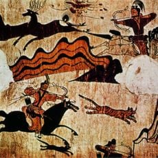
Goguryeo tombs
12.9 km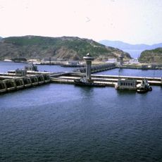
Nampo Dam
15.6 km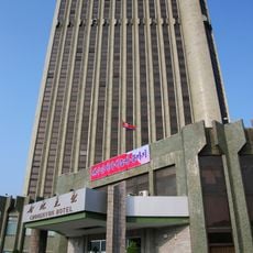
Chongnyon Hotel
41.8 km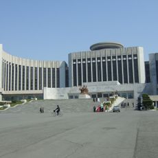
Mangyongdae Children's Palace
39.5 km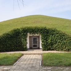
Kangso Three Tombs
20.6 km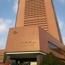
Sosan Hotel
41.8 km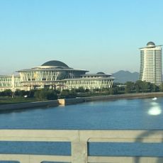
Pyongyang Sci-Tech Complex
42.1 km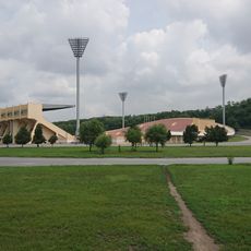
Sosan Football Stadium
41.4 km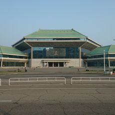
Pyongyang Circus
42.3 km
Daedong Bay Important Bird Area
29.8 km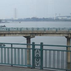
Chungsong Bridge
42.8 km
Onchon Field
2.8 km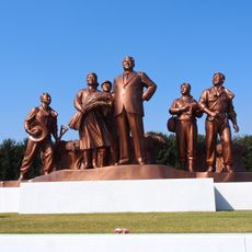
Group statue at Chongsan-ri Cooperative Farm
23.3 km
Kim Il-sung's birthplace
38.2 km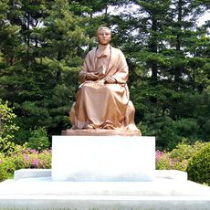
Statue of Kang Pan-sok
41.9 km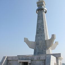
Nampo Dam lighthouse
17.8 km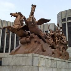
Tram of Happiness
39.5 km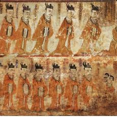
Tokhung-ri Tomb
21.5 km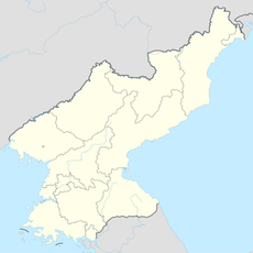
Unbong-jŏsuji
29.2 km
Chin'gwang-jŏsuji
39.5 km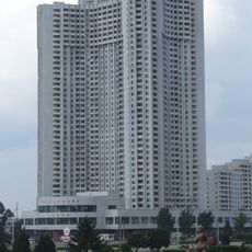
Kwangbok Street 1
39.8 km
Cheongsan-ri Revolutionary Museum
23.2 km
Yongho-jŏsuji
12 km
Wŏlch'on-jŏsuji
25.6 km
Ido-jŏsuji
25.1 km
Kwangbok Street 4
42.6 km
Spring Days Of Mangyongdae Memorial
38.5 km
Kwangbok Street 2
42.1 kmVisited this place? Tap the stars to rate it and share your experience / photos with the community! Try now! You can cancel it anytime.
Discover hidden gems everywhere you go!
From secret cafés to breathtaking viewpoints, skip the crowded tourist spots and find places that match your style. Our app makes it easy with voice search, smart filtering, route optimization, and insider tips from travelers worldwide. Download now for the complete mobile experience.

A unique approach to discovering new places❞
— Le Figaro
All the places worth exploring❞
— France Info
A tailor-made excursion in just a few clicks❞
— 20 Minutes