Jirisan

Log in to your account

AroundUs is a community-driven map of interesting places, built by curious explorers like you. It grows with every review, story, and photo you share.
Connect to save your favorite spots, contribute locations, and create personalized routes.
Continue with Google
Continue with Apple
Continue with X
Continue with Facebook
Continue with email
By continuing, you accept our Terms and Conditions and our Privacy Policy
Create an account
Add to collection
Map
Suggest a change
Share

Jirisan, Mountain and national park in North Jeolla, South Korea

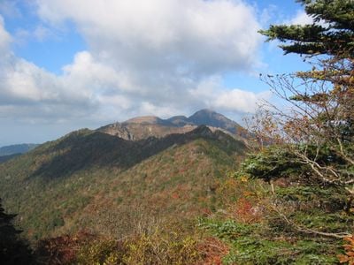
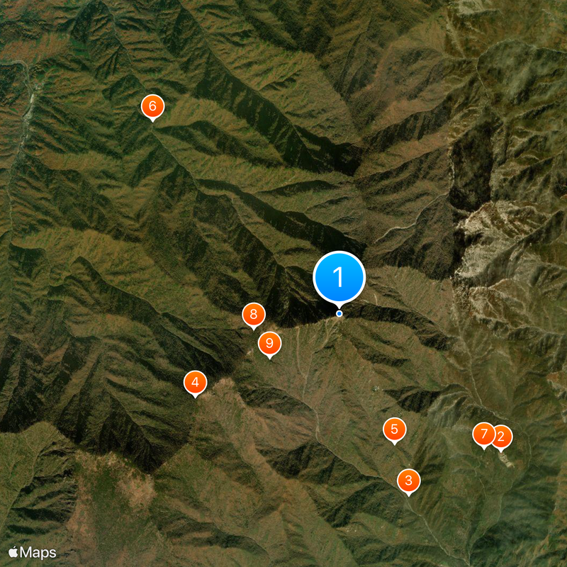
Jirisan is a mountain and national park in North Jeolla that stretches across several provinces, covered with thick forests, waterfalls, and rocky summits. The landscape shifts from gentle valleys with clear streams to steep rock walls leading up to the highest peak in the southern part of the country.

This national park was designated in 1967 as the first in the country and marked the beginning of organized nature conservation in South Korea. The mountain has served as a religious center and retreat for Buddhist monks since the Silla Dynasty.

The name Jirisan means Wise Mountain, and hikers often meet Buddhist monks and pilgrims walking the trails to reach the old temples. Wild tea plants grow in the valleys, harvested by surrounding villages for centuries.

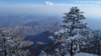
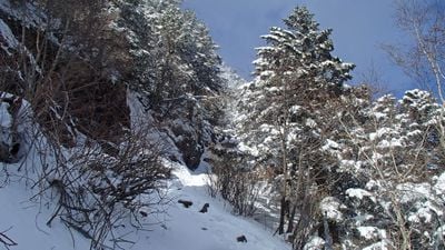
The hiking trails start from several entrances in different provinces and connect on the way to higher elevations. Spring and autumn offer milder temperatures, while summer can be humid and winter brings heavy snow.

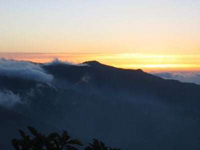
The park is home to Asiatic black bears again, returned through a reintroduction program after decades of absence. On some mornings, fog gathers in the higher elevations and forms a thick sea of clouds that makes the peaks look like islands.

Location: North Jeolla

Location: Namwon

Location: South Jeolla

Location: Gurye County

Location: South Gyeongsang

Location: Hadong County

Location: Hamyang County

Location: Sancheong County

Elevation above the sea: 1,915 m

Part of: Taebaek Mountains, 100 Noted Mt. in Korea

GPS coordinates: 35.33694,127.73056

Latest update: December 20, 2025 02:07

Photos
Reviews

Visited this place? Tap the stars to rate it and share your experience / photos with the community! Try now! You can cancel it anytime.

« Jirisan - Mountain and national park in North Jeolla, South Korea » is provided by Around Us (aroundus.com). Images and texts are derived from Wikimedia project under a Creative Commons license. You are allowed to copy, distribute, and modify copies of this page, under the conditions set by the license, as long as this note is clearly visible.

Discover hidden gems everywhere you go!

From secret cafés to breathtaking viewpoints, skip the crowded tourist spots and find places that match your style. Our app makes it easy with voice search, smart filtering, route optimization, and insider tips from travelers worldwide. Download now for the complete mobile experience.

Around Us App Screenshot

A unique approach to discovering new places

Le Figaro

All the places worth exploring

France Info

A tailor-made excursion in just a few clicks

20 Minutes