
Kazitiškis, village in Lithuania
Location: Ignalina District Municipality
Elevation above the sea: 152 m
GPS coordinates: 55.44167,26.14444
Latest update: April 2, 2025 15:27

Protected area of Lithuania
13.1 km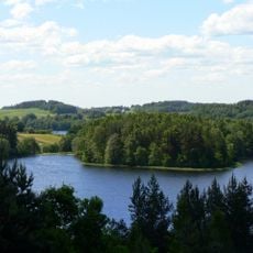
Aukštaitija National Park
12.2 km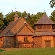
Church of St. Joseph, Palūšė
12.9 km
Lithuanian Museum of Ancient Beekeeping
13.1 km
Ginučiai hillfort
12.6 km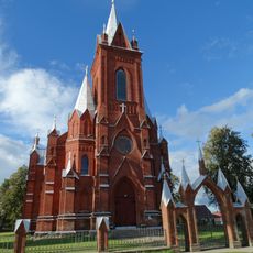
Church of the Visitation, Vidiškės
8.6 km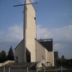
Church of the Nativity of the Virgin Mary, Ignalina
11.3 km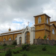
Church of Saints Joachim and Anne, Naujasis Daugėliškis
12.8 km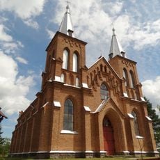
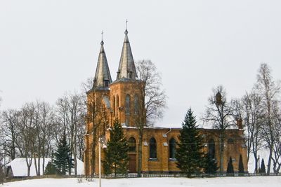
Church of St. Stanislaus the Bishop, Kazitiškis
592 m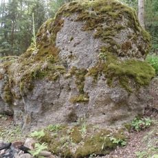
Antakmene conglomerate
6.3 km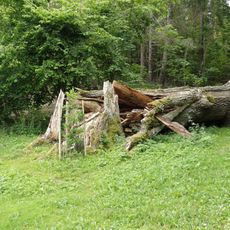
Trainiškio ąžuolas
8.7 km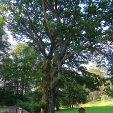
Palūšės ąžuolas
12.9 km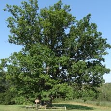
Varniškės II oak
12 km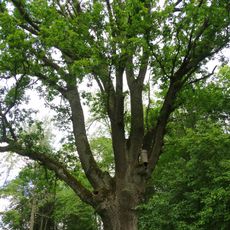
Kazitiškio ąžuolas
342 m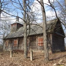
Old Believers Church in Aukštakalniai
12.8 km
Šeimaties piliakalnis
12.5 km
Papiliakalnė hillfort
12.6 km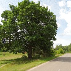
Vaišniūnų ąžuolas
6.9 km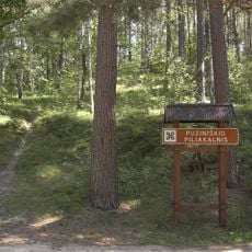
Puziniškis hillfort
12.2 km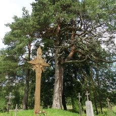
Rupinskų pušis
3.7 km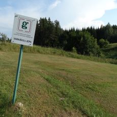
Varniškių liepa
11.9 km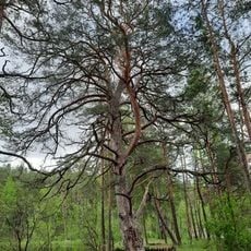
Asalnai pine
11 km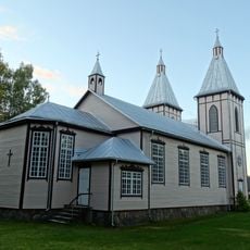
Church of St. John the Baptist, Švedriškė
7.1 km
Church of the Sacred Heart of Jesus in Daunoriai
12.3 km
Grybėnai chapel
9.9 km
Gedžiūnėlių pilkapynas
10.7 km
Rokėnų kapinynas
8.9 km
Laukstenių pilkapynas
2 kmVisited this place? Tap the stars to rate it and share your experience / photos with the community! Try now! You can cancel it anytime.
Discover hidden gems everywhere you go!
From secret cafés to breathtaking viewpoints, skip the crowded tourist spots and find places that match your style. Our app makes it easy with voice search, smart filtering, route optimization, and insider tips from travelers worldwide. Download now for the complete mobile experience.

A unique approach to discovering new places❞
— Le Figaro
All the places worth exploring❞
— France Info
A tailor-made excursion in just a few clicks❞
— 20 Minutes