
Užventis, city in Samogitia, Lithuania
Location: Kelmė District Municipality
Elevation above the sea: 135 m
GPS coordinates: 55.78333,22.65000
Latest update: March 26, 2025 06:43
Šatrija
11.5 km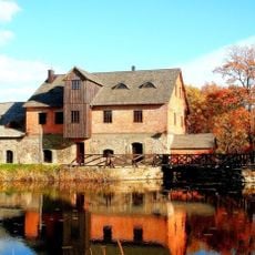
Užventis manor
610 m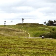
Sprūdė
10.3 km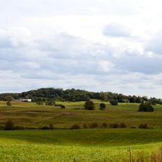
Girgždūtė
14.6 km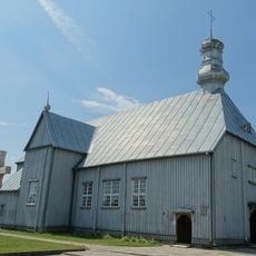
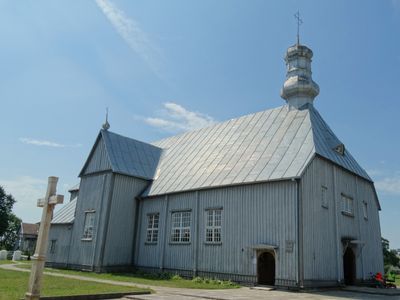
Church of St. Mary Magdalene, Užventis
374 m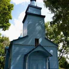
Orthodox church in Kolainiai
4.8 km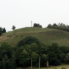
Moteraitis
9.5 km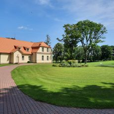
Pakėvis manor
15.7 km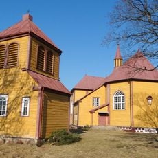
Church of All Saints, Luokė
14.3 km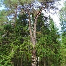
Martyno pušis
4.8 km
Duonkalnis
14.5 km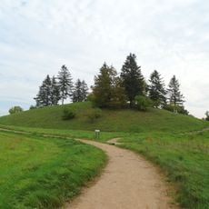
Pavandenės alkakalnis
9.4 km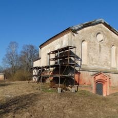
Beržėnai chapel
11.2 km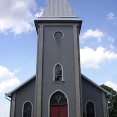
Church of the Holy Trinity, Šaukėnai
14.6 km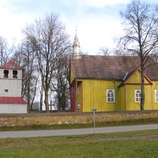
Church of St. Bartholomew, Karklėnai
14.8 km
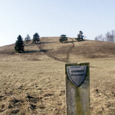
Kalniškių hillfort
14.6 km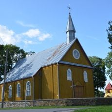
Church of St. John the Baptist, Vaiguva
10.9 km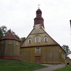
Church of St. Anne, Pavandenė
10.3 km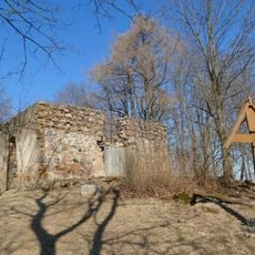
Church of St. Thecla, Pakėvis
15.3 km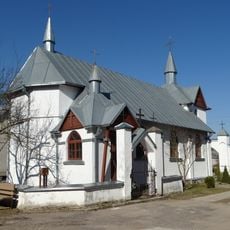
Pijus Stulginskis chapel in Vaiguva
11.3 km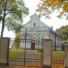
Church of the Blessed Virgin Mary, Queen of Mount Carmel, Kolainiai
4.9 km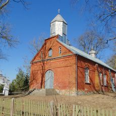
Old Believers Church in Pakupelkis
10.9 km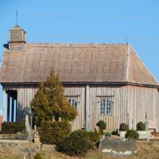
Chapel, Luokė
14 km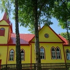
Saint Mary of Help Church, Viekšnaliai
10.6 km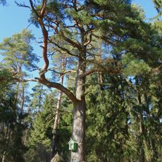
Šaukėnų pušis
16.1 km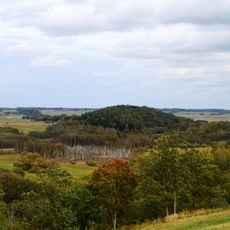
Miksodžio piliakalnis
9.5 km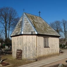
Vaiguva cemetery chapel
11 km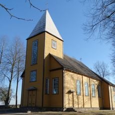
Church of St. Anthony of Padua, Vidsodis
9.5 kmReviews
Visited this place? Tap the stars to rate it and share your experience / photos with the community! Try now! You can cancel it anytime.
Discover hidden gems everywhere you go!
From secret cafés to breathtaking viewpoints, skip the crowded tourist spots and find places that match your style. Our app makes it easy with voice search, smart filtering, route optimization, and insider tips from travelers worldwide. Download now for the complete mobile experience.

A unique approach to discovering new places❞
— Le Figaro
All the places worth exploring❞
— France Info
A tailor-made excursion in just a few clicks❞
— 20 Minutes