Giluičių piliakalnis
Location: Alytus District Municipality
Height: 10 m
Website: https://piliakalniai.lt/piliakalnis.php?piliakalnis_id=13
GPS coordinates: 54.37167,23.59711
Latest update: September 25, 2025 07:40
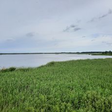
Žuvintas
12.8 km
Meteliai Regional Park
13 km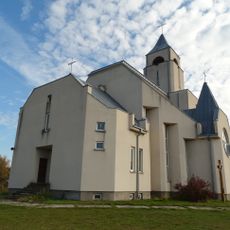
Chapel in Kryžiai
13.9 km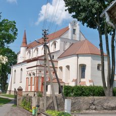
Church of the Assumption of the Blessed Virgin Mary, Simnas
3.4 km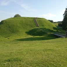
Grodzisko Przełomszczyzna
7.6 km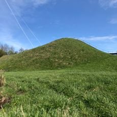
Kaukai hillfort
12.3 km
Church of the Holy Trinity, Rudamina
13.3 km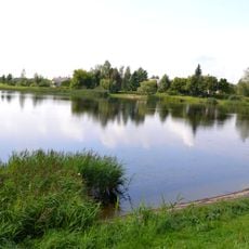
Krokialaukio tvenkinys
12.1 km
Varnupių piliakalnis
13.8 km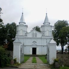
Church of the Transfiguration of Jesus Christ in Meteliai
12.3 km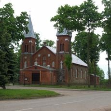
Church of the Transfiguration of Jesus Christ, Krokialaukis
12.9 km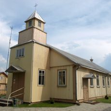
Church of Christ the King in Santaika
13.6 km
Church of St. Matthew, Krosna
4.4 km
Grodzisko w Ażolinie / Dębowym Rogu
6.3 km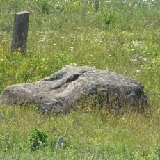
Varnupių akmuo
13.6 km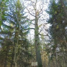
Buktos ąžuolas
13.2 km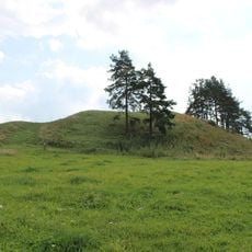
Elveriškė hillfort
13.9 km
Atesninkų piliakalnis
2.5 km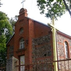
Church of St. George, Daukšiai
14 km
Church of the Blessed Virgin Mary of Perpetual Help, Šeštokai
10.1 km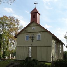
Church of the Holy Trinity, Riečiai
13.4 km
Grodzisko Werstominy I
10 km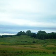
Riečiai hillfort
12.9 km
Grodzisko w Girajciach Wielkich
10.9 km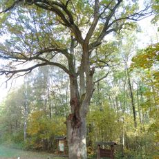
Širvintas hollow oak
14.2 km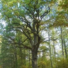
The Great Širvintas oak
14.1 km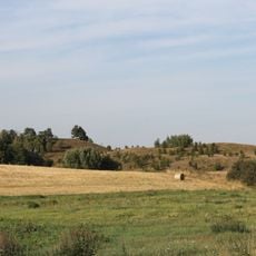
Gumbeliai hillfort
11.7 km
Grodzisko Werstominy II
10.1 kmVisited this place? Tap the stars to rate it and share your experience / photos with the community! Try now! You can cancel it anytime.
Discover hidden gems everywhere you go!
From secret cafés to breathtaking viewpoints, skip the crowded tourist spots and find places that match your style. Our app makes it easy with voice search, smart filtering, route optimization, and insider tips from travelers worldwide. Download now for the complete mobile experience.

A unique approach to discovering new places❞
— Le Figaro
All the places worth exploring❞
— France Info
A tailor-made excursion in just a few clicks❞
— 20 Minutes