
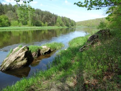
Airėnų konglomeratas
Location: Vilnius District Municipality
GPS coordinates: 54.83378,24.90470
Latest update: September 25, 2025 07:40
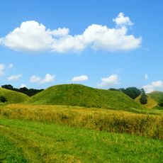
Kernavė Mounds
6.5 km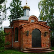
Orthodox church in Geisiškės
4 km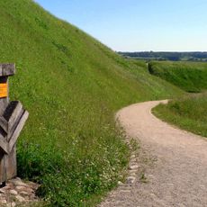
Mindaugo sostas
6.4 km
Karmazinai mound
2.3 km
Aukuro kalnas
6.4 km
Church of St. Anne, Dūkštos
4.3 km
Lizdeikos kalnas
6.3 km
Kazokiškių sąvartynas
6.2 km
Buivydai
2.6 km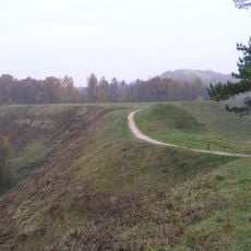
Bradeliškės hillfort
2.6 km
Paneriai manor
5.4 km
Church of the Blessed Virgin Mary of Victories, Kazokiškės
4.6 km
Kriveikiškis hillfort
5.8 km
Kiemelių tvenkinys
5.8 km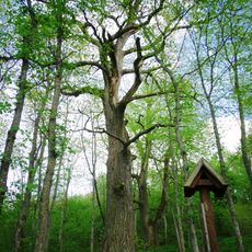
The sacred oak of Daubos
2.6 km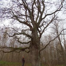
Alkai oak
3.5 km
Ausiutiškės conglomerate
6.5 km
Grabijolų klevas
2.4 km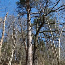
Velniakampio pušis
5.4 km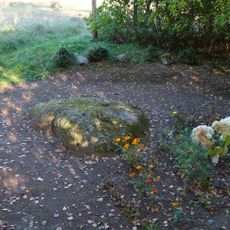
Mitkiškių akmuo
5.7 km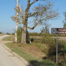
Paalkių piliakalnis
3.4 km
Verkšionių akmenys
2.9 km
Trautvetter Chapel
6.5 km
Grybiškių pušis
5.4 km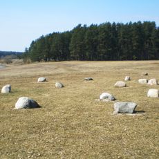
Kernavės kapinynas
6 km
Aleksandriškių uosis
6.5 km
Aleksandriškių eglė
6.4 km
Grabijolų pilkapynas
1.2 kmReviews
Visited this place? Tap the stars to rate it and share your experience / photos with the community! Try now! You can cancel it anytime.
Discover hidden gems everywhere you go!
From secret cafés to breathtaking viewpoints, skip the crowded tourist spots and find places that match your style. Our app makes it easy with voice search, smart filtering, route optimization, and insider tips from travelers worldwide. Download now for the complete mobile experience.

A unique approach to discovering new places❞
— Le Figaro
All the places worth exploring❞
— France Info
A tailor-made excursion in just a few clicks❞
— 20 Minutes