
Ogu/Bolo, local government area in Nigeria
Location: Rivers State
Inception: October 1996
GPS coordinates: 4.72172,7.19993
Latest update: March 3, 2025 05:30
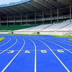
Adokiye Amiesimaka Stadium
37.3 km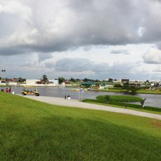
Port Harcourt Pleasure Park
24.7 km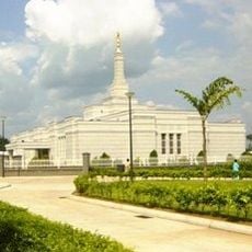
Aba Nigeria Temple
50.5 km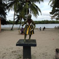
Port Harcourt Tourist Beach
21.2 km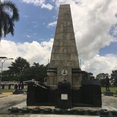
Isaac Boro Park
22.8 km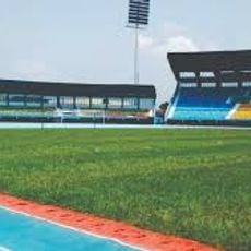
Yakubu Gowon Stadium
22.8 km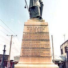
King Jaja of Opobo Memorial
44.1 km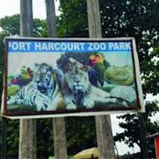
Port Harcourt Zoo
19.7 km
Dental and Maxillofacial Hospital Port Harcourt
23.1 km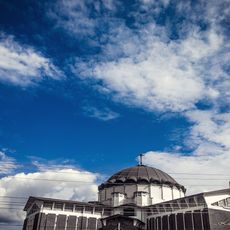
Assumpta Cathedral, Owerri
87.7 km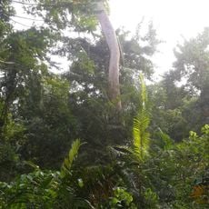
Finima Nature Park
36.4 km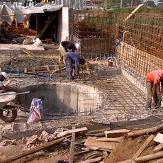
Underground water Reservoir and Eartn Retaining Wall Works
24.3 km
Garden City Amusement Park
25.4 km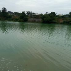
Azumini Blue River
40.5 km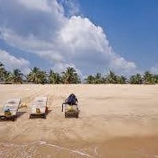
Ifoko beach, Rivers
21.2 km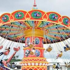
Roey amusement park
26.2 km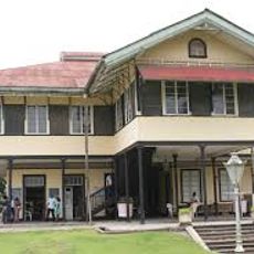
Chief Ochu Kalu's House
48.2 km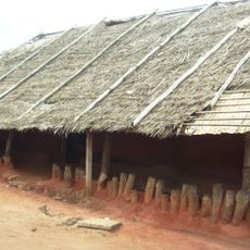
Obu House
48.2 km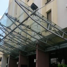
Ogbunabali, Diobu, Nigeria - panoramio (2)
24.5 km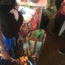
African Lady friying " BONS" for a local event
24.8 km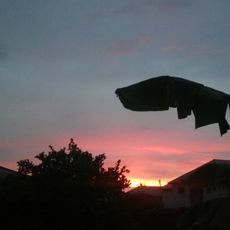
A distant eruption (15304776819)
20 km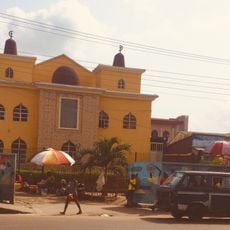
Mosque at mile 1
23.6 km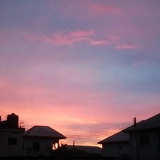
Afterglow (15468567026)
20 km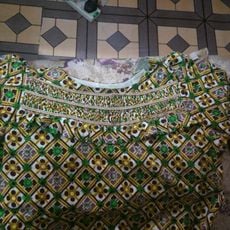
Summer garden
16.3 km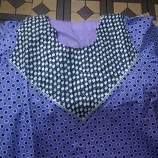
Black and white detail
15.8 km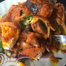
Nigerian dish called "bole"
19.6 km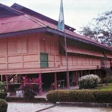
National Museum of Colonial History, Aba
49 km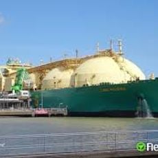
Bonny Offshore Terminal
60 kmReviews
Visited this place? Tap the stars to rate it and share your experience / photos with the community! Try now! You can cancel it anytime.
Discover hidden gems everywhere you go!
From secret cafés to breathtaking viewpoints, skip the crowded tourist spots and find places that match your style. Our app makes it easy with voice search, smart filtering, route optimization, and insider tips from travelers worldwide. Download now for the complete mobile experience.

A unique approach to discovering new places❞
— Le Figaro
All the places worth exploring❞
— France Info
A tailor-made excursion in just a few clicks❞
— 20 Minutes