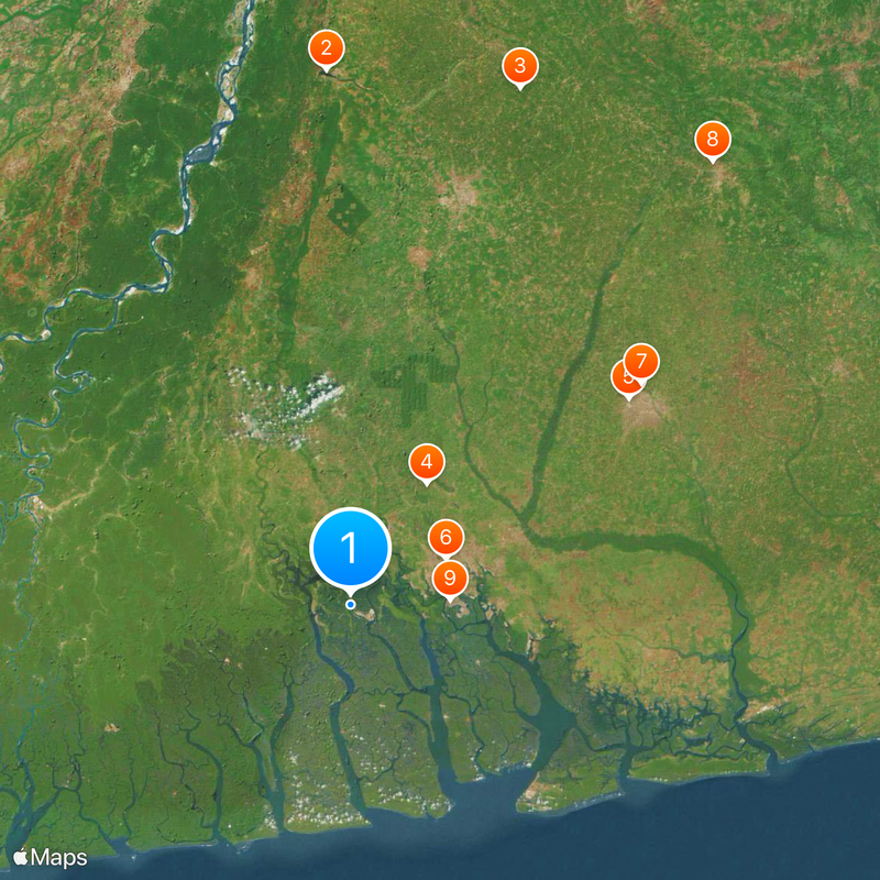
Rivers State, Administrative region in southern Nigeria
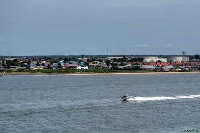
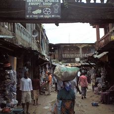
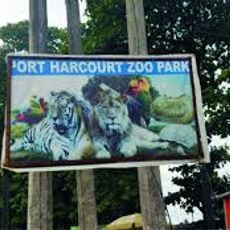
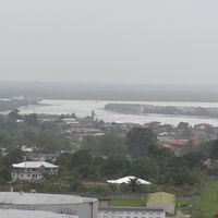
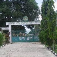
Rivers State is an administrative region in southern Nigeria that covers rainforest and coastal zones within the Niger Delta. The capital, Port Harcourt, sits at the center, with smaller towns and industrial sites scattered around it.
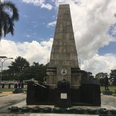
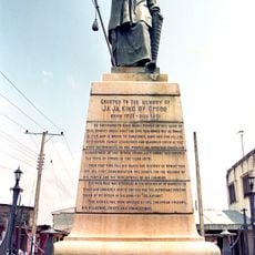
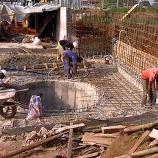
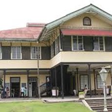
The territory became part of a British protectorate in the late 19th century and later developed into a center for oil extraction. After Nigerian independence, the current administrative unit was established in 1967.
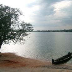
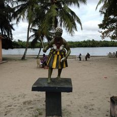
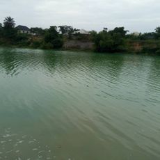
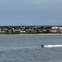
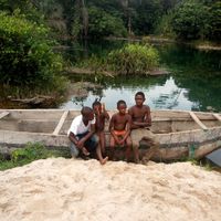
The name comes from the Niger Delta, where waterways shape daily routines and connect communities across the territory. Fishermen navigate narrow boats through channels, while markets along the banks sell fresh catch and local produce.
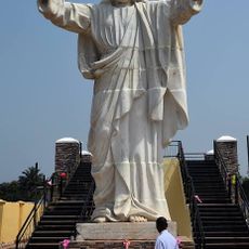
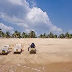
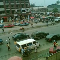
Visitors should prepare for tropical conditions with high humidity and frequent rainfall when exploring the region. Many locations can be reached by road and waterways, with local transport often more flexible than private vehicles.
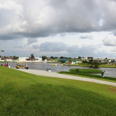
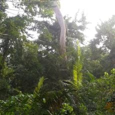
The landscape shifts from dense rainforest inland to mangrove swamps along the Atlantic coast. These transition zones provide habitat for many bird species and aquatic life adapted to changing salt levels.
Location: Nigeria
Inception: May 27, 1967
Capital city: Port Harcourt
Part of: South South
Shares border with: Bayelsa State, Delta State, Anambra State, Imo State, Abia State, Akwa Ibom State
Website: https://riversstate.gov.ng
GPS coordinates: 4.75000,6.83333
Latest update: December 4, 2025 19:06
South South
89.2 km
Oguta Lake
106.9 km
Jesus de Greatest
108.6 km
Adokiye Amiesimaka Stadium
28.6 km
Port Harcourt Pleasure Park
21.3 km
Aba Nigeria Temple
73 km
National War Museum, Umuahia
114.4 km
Port Harcourt Tourist Beach
19.9 km
Isaac Boro Park
19.5 km
Edumanom Forest Reserve
56.5 km
Yakubu Gowon Stadium
22.5 km
King Jaja of Opobo Memorial
82.6 km
Port Harcourt Zoo
24.6 km
Dental and Maxillofacial Hospital Port Harcourt
20.5 km
Assumpta Cathedral, Owerri
84.9 km
Ojukwu's Bunker
112.1 km
Finima Nature Park
54.8 km
Underground water Reservoir and Eartn Retaining Wall Works
22.3 km
Azumini Blue River
75.9 km
Garden City Amusement Park
20.2 km
Ifoko beach, Rivers
19.9 km
Obu House
71.6 km
Chief Ochu Kalu's House
71.5 km
Roey amusement park
20.5 km
Ogbunabali, Diobu, Nigeria - panoramio (2)
20.4 km
African Lady friying " BONS" for a local event
20.3 km
A distant eruption (15304776819)
26.5 km
Mbari cultural center
85.9 kmVisited this place? Tap the stars to rate it and share your experience / photos with the community! Try now! You can cancel it anytime.
Discover hidden gems everywhere you go!
From secret cafés to breathtaking viewpoints, skip the crowded tourist spots and find places that match your style. Our app makes it easy with voice search, smart filtering, route optimization, and insider tips from travelers worldwide. Download now for the complete mobile experience.
A unique approach to discovering new places❞
— Le Figaro
All the places worth exploring❞
— France Info
A tailor-made excursion in just a few clicks❞
— 20 Minutes