
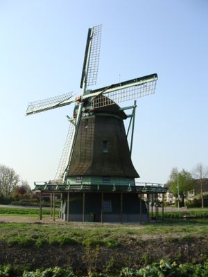
Ceres, windmill in Bovenkarspel, Netherlands (1848-2019)
Location: Stede Broec
Inception: 1848
Address: Broekerhavenweg 80
GPS coordinates: 52.69545,5.25155
Latest update: March 2, 2025 20:03
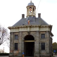
Koepoort
1.8 km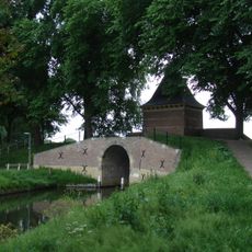
Boerenboom en Oude Gouwsboom
2 km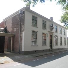
Zesstedenweg 159, Grootebroek
2 km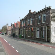
Westeinde
1 km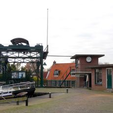
Overhaal
840 m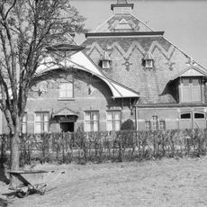
Snouck van Loosen Farm
1.2 km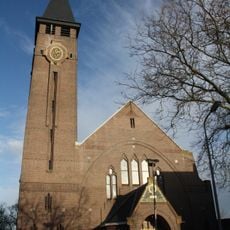
Johannes de Doperkerk
2 km
Burial mount Grootebroek
1.7 km
Grootslag
1.1 km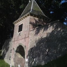
Waterpoort Boerenboom, Enkhuizen
2 km
Koepoort
1.8 km
Kaatje
2.1 km
Boerenboom, sluishuis met keermuren in de omwalling
2 km
Westerstraat 241, Enkhuizen
2 km
Terrein waarin overblijfselen van nederzettingen
1.6 km
Westerstraat 263, Enkhuizen
1.9 km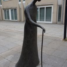
Wandelaar met Stok
1.1 km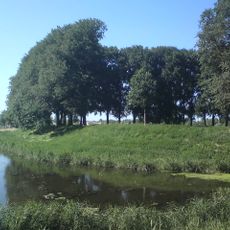
Bastion III
2 km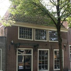
Westerstraat 239, Enkhuizen
2 km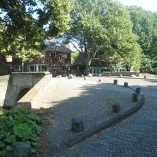
Boogbrug over de Burgwal
2 km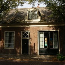
Westerstraat 270, Enkhuizen
2 km
Westerstraat 246, Enkhuizen
2.1 km
Westerstraat 244, Enkhuizen
2.1 km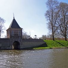
Courtine V-VI
2.1 km
Courtine II-III
2 km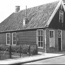
Hoofdstraat 294, Bovenkarspel
503 m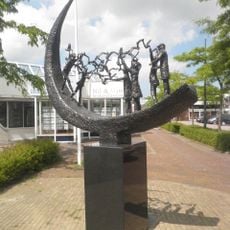
Bevrijdingsmonument
1.1 km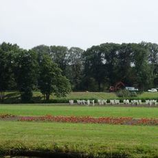
Bastion II
2 kmReviews
Visited this place? Tap the stars to rate it and share your experience / photos with the community! Try now! You can cancel it anytime.
Discover hidden gems everywhere you go!
From secret cafés to breathtaking viewpoints, skip the crowded tourist spots and find places that match your style. Our app makes it easy with voice search, smart filtering, route optimization, and insider tips from travelers worldwide. Download now for the complete mobile experience.

A unique approach to discovering new places❞
— Le Figaro
All the places worth exploring❞
— France Info
A tailor-made excursion in just a few clicks❞
— 20 Minutes