Kampsheide, Nature area between Balloo and Drentsche Aa valley, Netherlands.
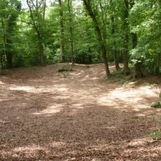
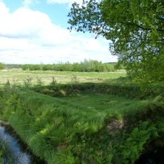
Kampsheide is a nature area between Balloo and the Drentsche Aa valley with diverse landscape features. A large pond sits surrounded by ancient juniper bushes, while heathland stretches across the protected terrain.
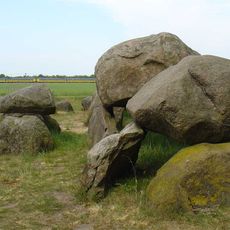
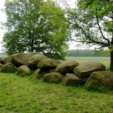
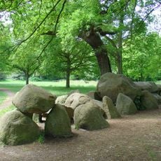
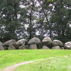
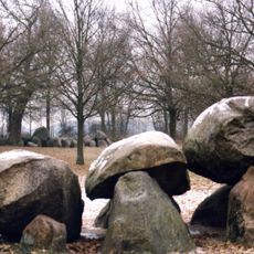
The area contains over 35 burial mounds from the Stone Age and Bronze Age with traces of Iron Age Celtic fields. These archaeological layers reveal that people used this location for thousands of years.
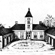
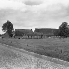
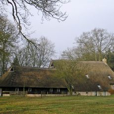
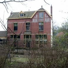
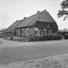
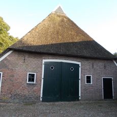
The reconstructed Kamps Farm shows how people lived and farmed here over many centuries. It connects the agricultural history of this region with the former Maria in Campis convent in Assen.
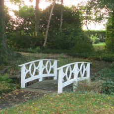
Marked walking paths guide visitors through the terrain and make it easy to explore different landscape zones. Information boards along the routes explain the archaeological features and help you understand the site's history.
The natural pond in the center becomes an ice surface during hard frosts, where people skate and walk. This transformation makes the site a completely different experience during the coldest winter months.
The community of curious travelers
AroundUs brings together thousands of curated places, local tips, and hidden gems, enriched daily by 60,000 contributors worldwide.