
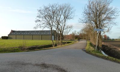
Lutjewolde, hameau des communes de Bedum et de Ten Boer
Location: Het Hogeland
Location: Groningen
GPS coordinates: 53.29420,6.64670
Latest update: March 25, 2025 21:37
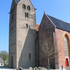
St. Walfriduskerk
3 km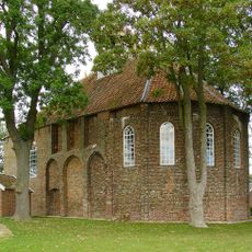
Kloosterkerk, Thesinge
2.9 km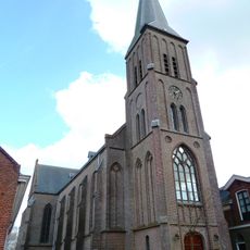
Maria ten Hemelopneming
2.9 km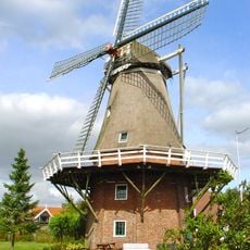
Germania
2.8 km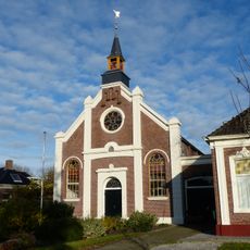
Gereformeerde kerk
3 km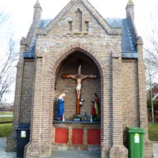
R.K. begraafplaats, rouwkapel
2.8 km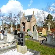
Maria ten Hemelopneming (Bedum)
2.8 km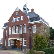
Oude gemeentehuis Bedum
3.1 km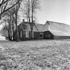
Bovenrijgerweg 10
2.7 km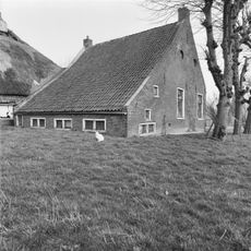
Bovenrijgerweg 19
3.1 km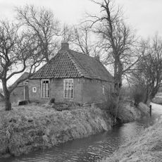
Blauw Börgje (Ellerhuizen)
2.5 km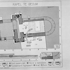
Terrein met overblijfselen van een aan Walfridus gewijde kapel
3.2 km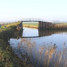
Peertil
1.9 km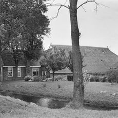
Boerderij met voorhuis onder zadeldak met wolfseind en rietgedekte schuren
2.6 km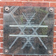
Jozef en Regina
3.2 km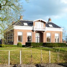
Hervormde pastorie
3 km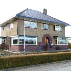
Voorm. notariswoning met aangebouwd achterhuis en garage
3.2 km
Grotestraat 62, Bedum
2.9 km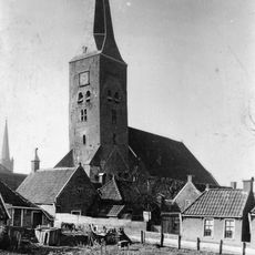
Tower of St. Walfriduskerk
3 km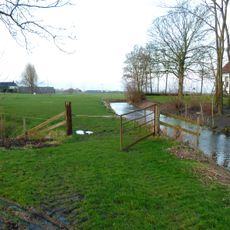
Terrein met resten van een uithof van het Rodeschool)
2.9 km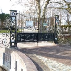
Algemene begraafplaats, toegangshek
3 km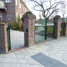
School met den Bijbel, toegangshek
3 km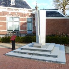
Oorlogsmonument
3.1 km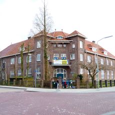
School met den Bijbel (Bedum)
3 km
Wierde (De Bult)
3.1 km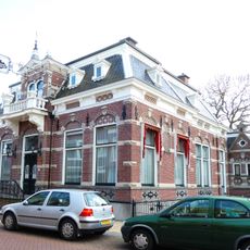
Rentenierswoning met aangebouwd achterhuis en schuur
3.1 km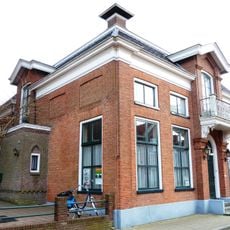
R.K. pastorie
2.9 km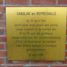
Razzia in Bedum
3.2 kmReviews
Visited this place? Tap the stars to rate it and share your experience / photos with the community! Try now! You can cancel it anytime.
Discover hidden gems everywhere you go!
From secret cafés to breathtaking viewpoints, skip the crowded tourist spots and find places that match your style. Our app makes it easy with voice search, smart filtering, route optimization, and insider tips from travelers worldwide. Download now for the complete mobile experience.

A unique approach to discovering new places❞
— Le Figaro
All the places worth exploring❞
— France Info
A tailor-made excursion in just a few clicks❞
— 20 Minutes