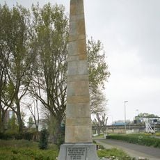
Lowest point of the Netherlands, Geographical marker in Nieuwerkerk aan den IJssel, Netherlands
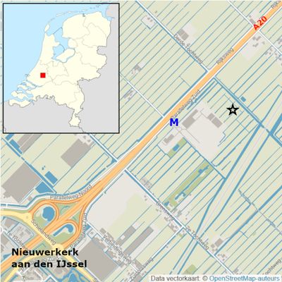
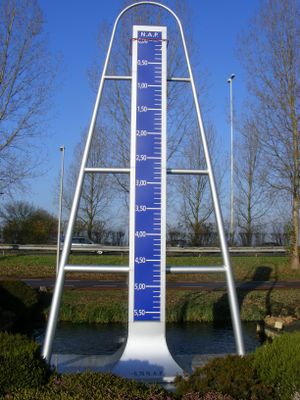
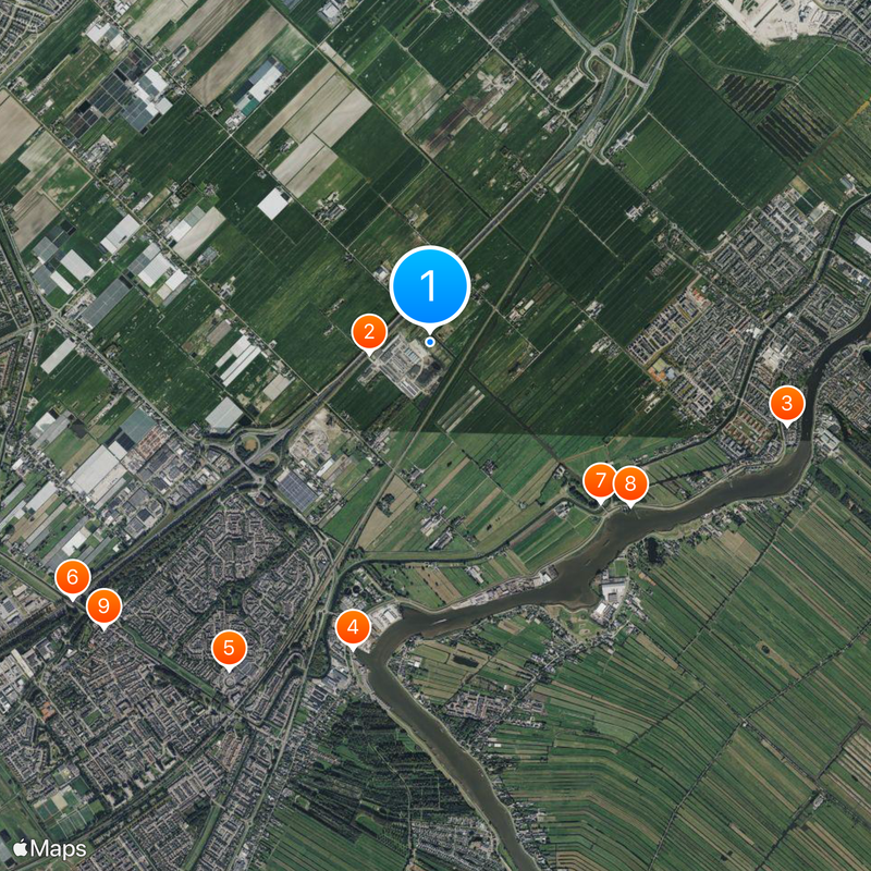
The lowest point of the Netherlands sits roughly 7 meters below sea level in the Zuidplaspolder area near the A20 highway. The exact location was measured against the Normaal Amsterdams Peil, a national standard used for all elevation measurements in the country.
Dutch authorities officially designated this location as the nation's lowest point in 1995. This determination marked a major milestone in scientific mapping and understanding the Netherlands' terrain.
A large ruler monument marks the spot, reflecting how water management has shaped Dutch identity and daily life. The site reminds visitors how controlling water remains central to Dutch survival and building.
The location is freely accessible throughout the year and can be reached by public transportation from Rotterdam and other major cities. The area is flat and easy to walk, making it simple for visitors to view the monument.
The area was originally swampland that was drained, making it one of the lowest regions in the country. Without artificial drainage, this entire spot would sit underwater.
The community of curious travelers
AroundUs brings together thousands of curated places, local tips, and hidden gems, enriched daily by 60,000 contributors worldwide.