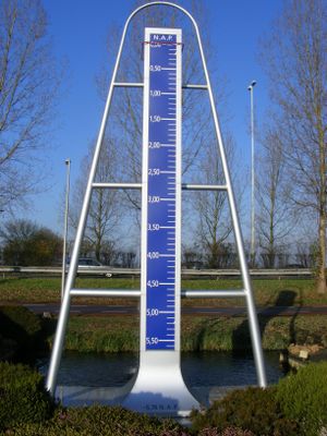
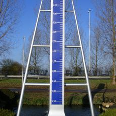
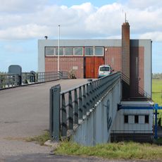
Monument laagste punt van Nederland, Memorial at lowest geographical point in Zuidplas, Netherlands.
This memorial marks the lowest geographical point in the Netherlands, located in Zuidplas where land descends to 6.76 meters below sea level. A seven-meter-high blue measuring scale mounted in an aluminum frame sits on a floating platform in the water, providing a clear physical reference for this extreme depth.
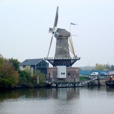
The area was originally a lake that was drained in 1841 to extract peat for commercial use. This drainage left land that permanently sits below sea level and requires continuous protection.
This memorial shows how the Dutch have learned to live with water through clever engineering and constant maintenance of protective systems. Visitors can grasp the importance of water management in daily life here.
The site lies between Nieuwerkerk aan den IJssel and Moordrecht along the A20 highway and welcomes visitors year-round with no restrictions. You can approach at any time and spend as long as you wish observing the monument and the surrounding water landscape.
The measuring scale on the monument is not merely symbolic but is actually used by scientists and water authorities for precise water level measurements. This makes the site function as both a memorial and a working instrument for monitoring water conditions in the region.
The community of curious travelers
AroundUs brings together thousands of curated places, local tips, and hidden gems, enriched daily by 60,000 contributors worldwide.