Waterlandse Zeedijk, Medieval flood defense levee in North Holland, Netherlands
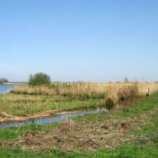
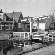
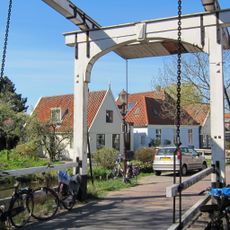
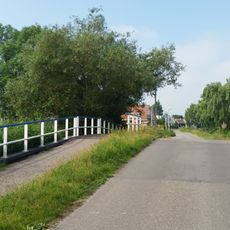
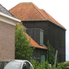
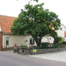
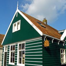
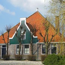
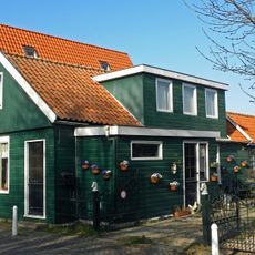
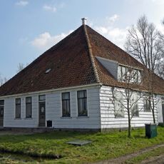
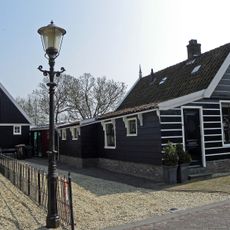
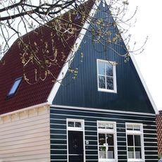
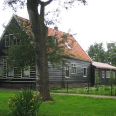
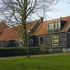
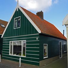
The Waterlandse Zeedijk is a medieval flood defense levee that runs through several villages in North Holland and protects the Waterland region from the IJsselmeer lake. The dike passes through settlements like Uitdam, Durgerdam, and Schellingwoude, separating the low-lying landscape behind it from the open water.
Peat excavation from the 10th century caused the land to subside below sea level, which led to the construction of protective dikes in the 12th century. These early dikes formed the foundation for settlement and community development in the region.
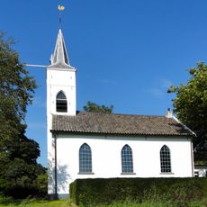
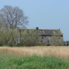
The villages along this levee show how Dutch people have always lived with water by adapting their settlements to the protection the dike provides. You can see this approach reflected in how the communities are organized and how residents relate to the water around them.
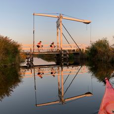
The dike is best explored on foot or by bicycle since the top provides a continuous path running through multiple villages. Keep in mind that sections between Durgerdam and Monnickendam have been undergoing reinforcement work since 2021 and may have limited access or construction activity.
From 1877 to 1921, this levee marked Amsterdam's northern municipal boundary before three Waterland communities were annexed into the city. This administrative role is no longer apparent today, but it shows how important the dike was as a dividing line between different areas.
The community of curious travelers
AroundUs brings together thousands of curated places, local tips, and hidden gems, enriched daily by 60,000 contributors worldwide.