
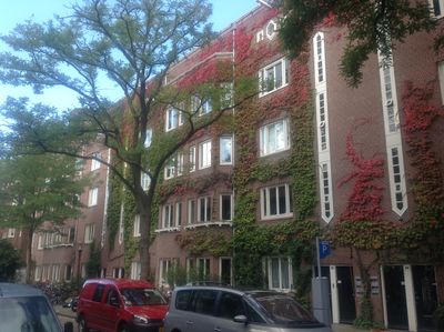
Gerard Terborgstraat/Roelof Hartstraat, deel van bouwblok in Amsterdam (rijksmonument)
Location: Amsterdam
Part of: Harmoniehof
GPS coordinates: 52.35192,4.88472
Latest update: October 1, 2025 21:01
Het Nieuwe Huis
170 m
Huize Lydia
274 m
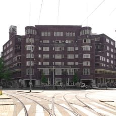
College Hotel
3 m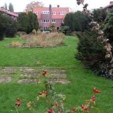
Plantsoen Harmoniehof
124 m
Ceintuurbrug
125 m
Korrelbrug
220 m
Hanny Michaelisbridge
261 m
Boerenweteringbrug
267 m
Blauwe reiger
329 m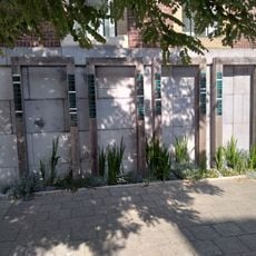
Oorlogsmonument Gerard Terborgstraat
166 m
Oorlogsmonument Harmoniehof
215 m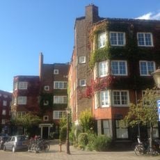
Harmoniehof
96 m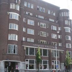
Amsterdam Public Library, OBA Roelof Hartplein
164 m
Oud-Katholieke Kerk Amsterdam
247 m
Harmoniehof
159 m
School Roelof Hartstraat
115 m
Pastorie bij de Oud-Katholieke Kerk
249 m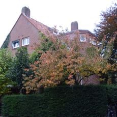
Harmoniehof: centraal-westelijk dubbel woonhuis
155 m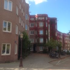
Harmoniehof/JM Coenenstr/R Vinkeleskade
278 m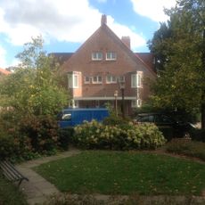
Harmoniehof: westelijk dubbel woonhuis
184 m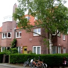
Harmoniehof: centraal-oostelijk dubbel woonhuis
103 m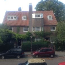
Cornelis van der Lindenstraat 12-14
97 m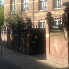
Hek
92 m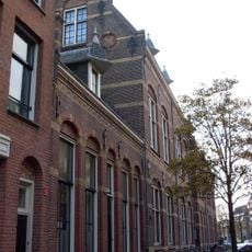
Conciërgewoning
130 m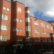
J.M. Coenenstraat/Harmoniehof/Daniël de Langestraat/Gerard Terborgstraat
217 m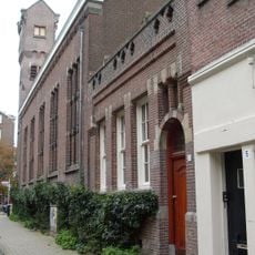
Sacristie en leeringkamer bij de Oud-Katholieke Kerk
229 m
Reijnier Vinkeleskade 1-5, Amsterdam
153 m
Harmoniehof/Gerard Terborgstraat
95 mReviews
Visited this place? Tap the stars to rate it and share your experience / photos with the community! Try now! You can cancel it anytime.
Discover hidden gems everywhere you go!
From secret cafés to breathtaking viewpoints, skip the crowded tourist spots and find places that match your style. Our app makes it easy with voice search, smart filtering, route optimization, and insider tips from travelers worldwide. Download now for the complete mobile experience.

A unique approach to discovering new places❞
— Le Figaro
All the places worth exploring❞
— France Info
A tailor-made excursion in just a few clicks❞
— 20 Minutes