
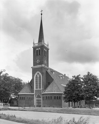
Johannes de Doperkerk, church in Leimuiden, Netherlands
Location: Kaag en Braassem
Inception: 1854
Part of: Johannes de Doperkerk
Address: Willem van der Veldenweg 22 2451BB 2451BB
GPS coordinates: 52.21086,4.66956
Latest update: March 10, 2025 13:41
Bilderdam
3.7 km
Woudse Dom
1.3 km
Pont-canal du Ringvaart
3 km
Watertoren Roelofarendsveen
2.7 km
Geestmolen
732 m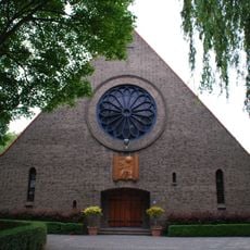
Maria Presentatiekerk
3.2 km
Sluis Roelofarendsveen
3.4 km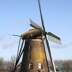
Googermolen
2.5 km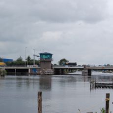
Leimuiderbrug
2.2 km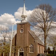
Dorpskerk
1.4 km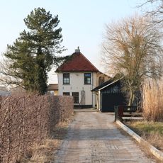
Station Sloterweg Zuid
4.6 km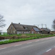
Herenweg 12a Rijnsaterswoude Hoeve Sint Jan
935 m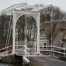
Bridge Leidsevaartlaan 3
2.3 km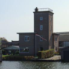
Rijnlands observatorium
2.1 km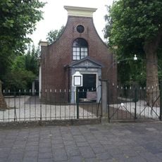
Remonstrantse Kerk
1.7 km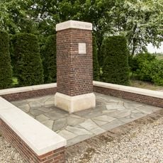
Monument Burgerveen
4.3 km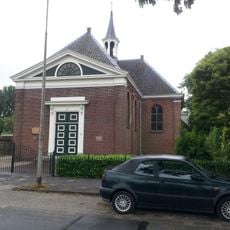
Nederlandse Hervormde Kerk
1.6 km
Sint-Adrianuskerk
3.4 km
Kerkstraat 40, Oude Wetering
1.7 km
Willem van der Veldenweg 43, Leimuiden
758 m
Reintjeshoeve
4.3 km
De Jonge Willem
4.5 km
Sint Petrus Bandenkerk, Roelofarendsveen
3.3 km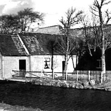
Willem van der Veldenweg 8, Leimuiden
481 m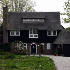
Woonhuis 'Jacobswoude'
4.6 km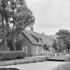
Boerderij onder rieten wolfdak
572 m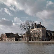
Kerkstraat 46, Oude Wetering
1.7 km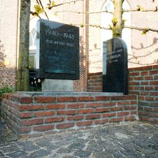
Oorlogsmonument
1.3 kmReviews
Visited this place? Tap the stars to rate it and share your experience / photos with the community! Try now! You can cancel it anytime.
Discover hidden gems everywhere you go!
From secret cafés to breathtaking viewpoints, skip the crowded tourist spots and find places that match your style. Our app makes it easy with voice search, smart filtering, route optimization, and insider tips from travelers worldwide. Download now for the complete mobile experience.

A unique approach to discovering new places❞
— Le Figaro
All the places worth exploring❞
— France Info
A tailor-made excursion in just a few clicks❞
— 20 Minutes