
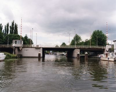
Balijebrug
Location: Utrecht
Official opening: June 27, 1959
GPS coordinates: 52.07697,5.10950
Latest update: March 15, 2025 15:41
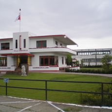
Villa Jongerius en Jongeriuskantoor
545 m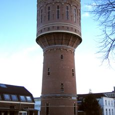
Water tower (Heuveloord Utrecht)
789 m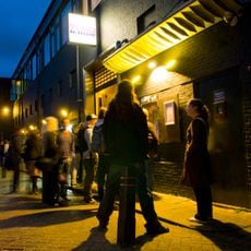
De Helling
832 m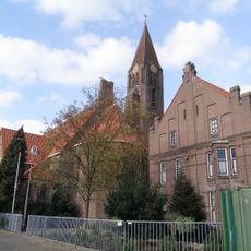
Sint-Gertrudiskerk, Utrecht
560 m
W.G. van de Hulstschool
829 m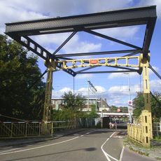
Jeremiebrug
860 m
Sterrenburg
970 m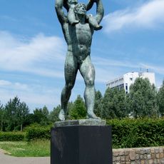
Park Transwijk
819 m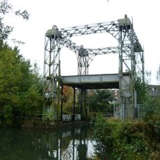
Hefbrug in de Kruisvaart
693 m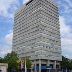
Piet van Dommelenhuis
980 m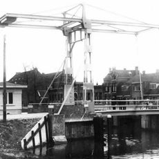
Julianabrug
831 m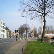
Oranjebrug
795 m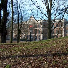
Enghlenschild
886 m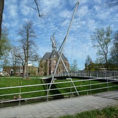
Sint Martinusbrug
997 m
Bijlhouwerstoren
1 km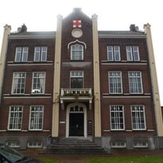
Jutfaseweg 7, Utrecht
778 m
De Nieuwe Defensie
369 m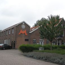
Factory building and house
750 m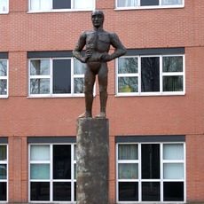
Mansfiguur voor Utrecht
928 m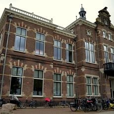
Grafische School
794 m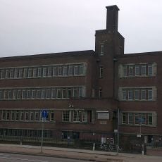
Rudolph Magnus Instituut
713 m
Westerkade 1, Utrecht
1 km
Jongerius
527 m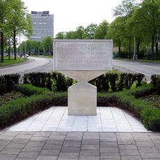
Verzetsmonument in de Transwijk
613 m
Kruisvaartkade
792 m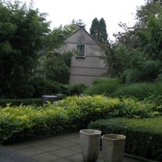
Working-class houses of Mobach Ceramics Factory
728 m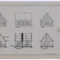
Construction Office for Railway Works in Utrecht 1935-1944
795 m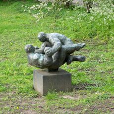
Worstelaars
799 mReviews
Visited this place? Tap the stars to rate it and share your experience / photos with the community! Try now! You can cancel it anytime.
Discover hidden gems everywhere you go!
From secret cafés to breathtaking viewpoints, skip the crowded tourist spots and find places that match your style. Our app makes it easy with voice search, smart filtering, route optimization, and insider tips from travelers worldwide. Download now for the complete mobile experience.

A unique approach to discovering new places❞
— Le Figaro
All the places worth exploring❞
— France Info
A tailor-made excursion in just a few clicks❞
— 20 Minutes