
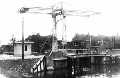
Julianabrug, bridge in Netherlands
Location: Utrecht
Inception: 1932
GPS coordinates: 52.07202,5.11859
Latest update: March 4, 2025 02:08
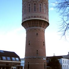
Water tower (Heuveloord Utrecht)
415 m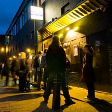
De Helling
587 m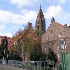
Sint-Gertrudiskerk, Utrecht
441 m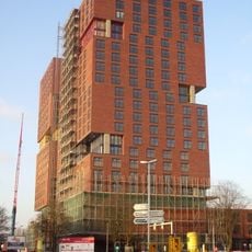
City Campus Max
818 m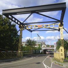
Jeremiebrug
755 m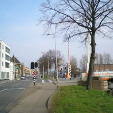
Oranjebrug
128 m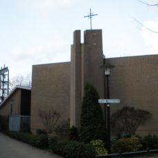
H. Johannes de Doper en H. Bernarduskerk
409 m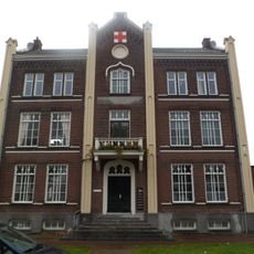
Jutfaseweg 7, Utrecht
599 m
Martinushofje
978 m
Marcuskerk
843 m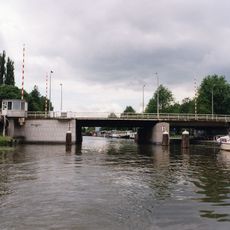
Balijebrug
831 m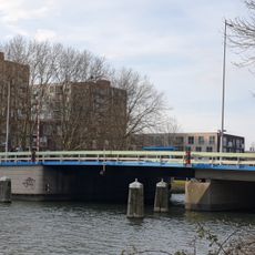
Socratesbrug
706 m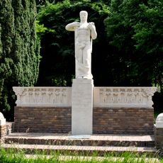
Monument voor de Binnenlandse Strijdkrachten
964 m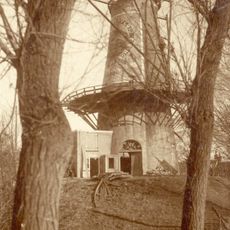
De Gans
987 m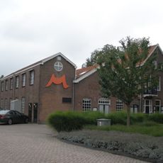
Factory building and house
577 m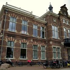
Grafische School
655 m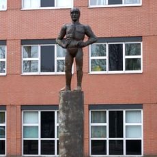
Mansfiguur voor Utrecht
655 m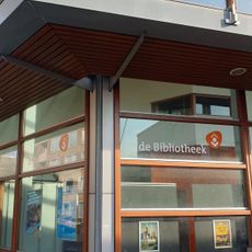
Hoograven public library
344 m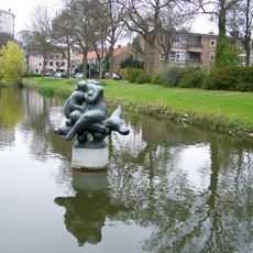
Nereïde op Triton
688 m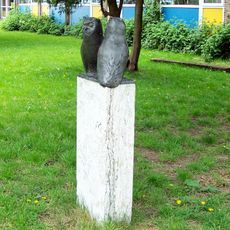
Two Owls
425 m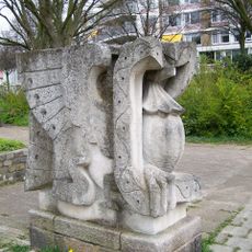
Vogel met slang in de bek
616 m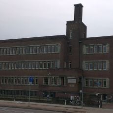
Rudolph Magnus Instituut
742 m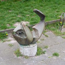
Jonas in de walvis
704 m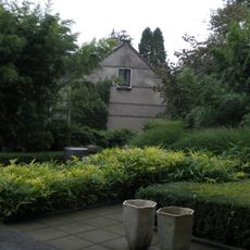
Working-class houses of Mobach Ceramics Factory
626 m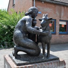
Moeder met kind en bok
829 m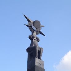
Zonnegodin
471 m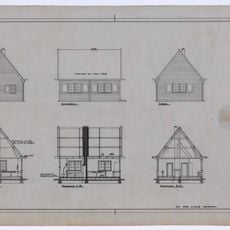
Construction Office for Railway Works in Utrecht 1935-1944
771 m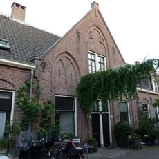
Martinushofje
956 mReviews
Visited this place? Tap the stars to rate it and share your experience / photos with the community! Try now! You can cancel it anytime.
Discover hidden gems everywhere you go!
From secret cafés to breathtaking viewpoints, skip the crowded tourist spots and find places that match your style. Our app makes it easy with voice search, smart filtering, route optimization, and insider tips from travelers worldwide. Download now for the complete mobile experience.

A unique approach to discovering new places❞
— Le Figaro
All the places worth exploring❞
— France Info
A tailor-made excursion in just a few clicks❞
— 20 Minutes