
Valbrekke landskapsvernområde
Location: Sarpsborg Municipality
GPS coordinates: 59.34722,11.01806
Latest update: April 26, 2025 13:45
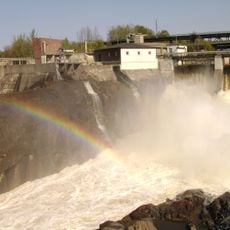
Sarp Falls
10.2 km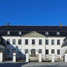
Hafslund Manor
10.6 km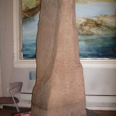
Tune stone
7.2 km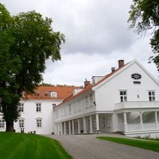
Borregaard Hovedgård
9.6 km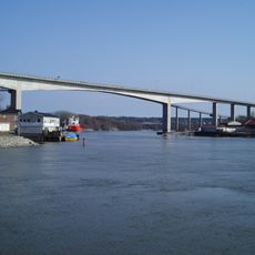
Sannesund Bridge
9.6 km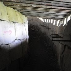
Greåker Fort
8.5 km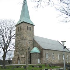
Tune Church
7.2 km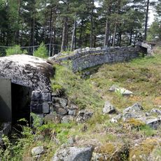
Ravneberget Fort
7.9 km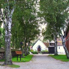
Borgarsyssel Museum
9.7 km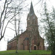
Sarpsborg Church
8.9 km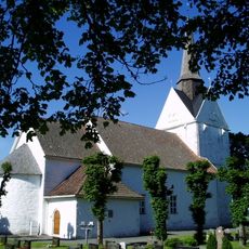
Råde Church
7 km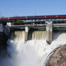
Sarp Bridge
10.2 km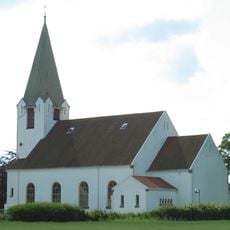
Rolvsøy Church
9.1 km
Solli Church
3.9 km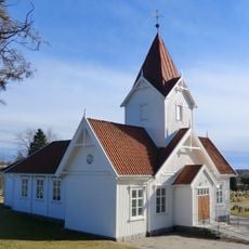
Hafslund Church
10.8 km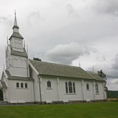
Svinndal Church
8.6 km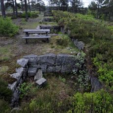
Vetaåsen batteri
5 km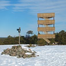
Fugleleiken
6.4 km
Holleby Church
5.4 km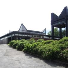
Greåker Church
8.5 km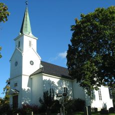
Varteig Church
9.7 km
Odeon Kino
9.1 km
Hafslundsøy Church
9.4 km
Rolvsøysund bro
8.7 km
Gyllerås batteri
4.7 km
Sarpsbrua
10.2 km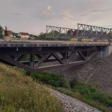
Moumbekken bru
10.7 km
St. Olavs voll
9.7 kmReviews
Visited this place? Tap the stars to rate it and share your experience / photos with the community! Try now! You can cancel it anytime.
Discover hidden gems everywhere you go!
From secret cafés to breathtaking viewpoints, skip the crowded tourist spots and find places that match your style. Our app makes it easy with voice search, smart filtering, route optimization, and insider tips from travelers worldwide. Download now for the complete mobile experience.

A unique approach to discovering new places❞
— Le Figaro
All the places worth exploring❞
— France Info
A tailor-made excursion in just a few clicks❞
— 20 Minutes