Beisfjordtøtta, peak in Narvik, Norway
Location: Narvik Municipality
Elevation above the sea: 1,080 m
Part of: Tøtta
GPS coordinates: 68.40588,17.57398
Latest update: November 21, 2025 03:49

Rombaken
6 km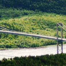
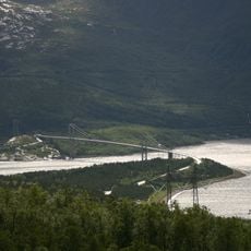
Rombak Bridge
6.7 km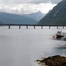
Beisfjord Bridge
6.2 km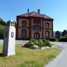
Museum Nord, Narvik
6.7 km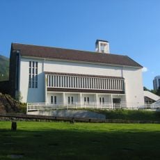
Fredskapellet
6.5 km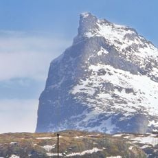
Rombakstøtta
3.2 km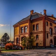
Narvik Museum
6.7 km
Hardhausen
4.2 km
Karistranda
6.5 km
Stolperstein dedicated to Idar Fischer
6.8 km
Kjeangflågan
5.9 km
Mølnelvdalen
4.8 km
Mølnelva kote 350
4.7 km
Mølnelva kote 500
4.7 km
Beisfjord kirkegård
3.9 km
Vestfjordvatnan
5.6 km
Malmbanen (Kuberget)
6.9 km
Stuordievvá
4.8 km
Mølnelva kote 550
4.6 km
Knusartoppen/Orneelva
6.6 km
New Narvikfjellet lift
5.9 km
Damplokomotiv "Bifrost"
6.7 km
Statue, Work of art
6.8 km
Work of art, sculpture
6.6 km
Øvre Fjellheisstation
5.1 km
Scenic viewpoint
4.2 km
Scenic viewpoint
4.1 km
Scenic viewpoint
5.5 kmReviews
Visited this place? Tap the stars to rate it and share your experience / photos with the community! Try now! You can cancel it anytime.
Discover hidden gems everywhere you go!
From secret cafés to breathtaking viewpoints, skip the crowded tourist spots and find places that match your style. Our app makes it easy with voice search, smart filtering, route optimization, and insider tips from travelers worldwide. Download now for the complete mobile experience.

A unique approach to discovering new places❞
— Le Figaro
All the places worth exploring❞
— France Info
A tailor-made excursion in just a few clicks❞
— 20 Minutes