Narvik Municipality, Arctic municipality in Nordland, Norway
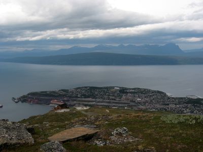
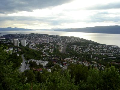
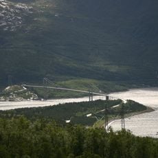
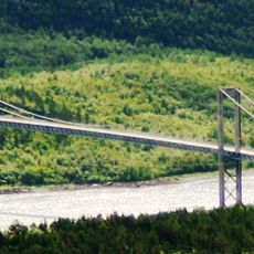
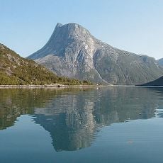
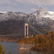
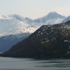
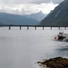
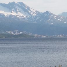
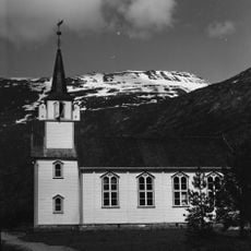
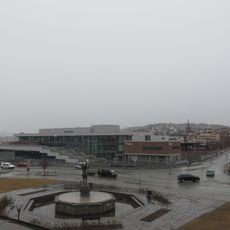
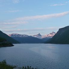
Narvik Municipality stretches between mountains and fjords in Nordland, forming a sprawling Arctic administrative unit in northern Norway. The territory includes the town of the same name along the Ofotfjorden, plus surrounding valleys, islands, and plateaus reaching the Swedish border.
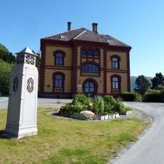
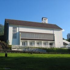
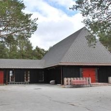
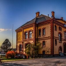
The area became a separate administrative unit in 1902 and grew rapidly due to iron ore shipments from Swedish mines passing through the ice-free port. The region saw heavy fighting during World War II in April and May 1940, after which the town was largely rebuilt.
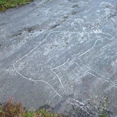
The Sami have practiced reindeer herding across the northern lands for centuries, keeping their traditional way of life alive in this Arctic region. Visitors walking the trails may encounter reindeer herds and witness how this ancient practice still shapes local life today.
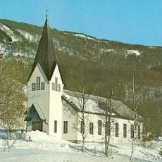
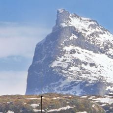
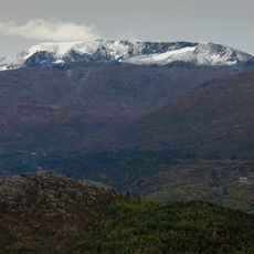
The area lies north of the Arctic Circle and enjoys continuous daylight from May through July, while winter months remain mostly dark. Roads and hiking trails can be difficult due to snow and ice well into late spring, so sturdy gear is recommended.
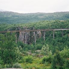
The railway line through the area crosses steep mountain passes and runs partly along narrow rock ledges, making it one of the most technically demanding routes in Europe. Some sections pass through tunnels carved directly into solid rock to manage the extreme elevation changes.
The community of curious travelers
AroundUs brings together thousands of curated places, local tips, and hidden gems, enriched daily by 60,000 contributors worldwide.