Enable Location

We need your location to show you interesting places around you

Discover nearby places

Find interesting locations and hidden gems around you

Precise directions

Get accurate directions and distances to places

Your location is never shared with other users. It's only used when you tap the location button.

Log in to your account

Start exploring — it's free

Trusted by 62,944 travelers worldwide

Continue with Google
Continue with Apple
or

We will send you a code to connect

By continuing, you accept our Terms and Conditions and our Privacy Policy

Check your inbox

We've sent a pincode in your inbox. Please enter the code below.

Rombaksbaai
Discussion Reviews Photo
2.2k Popularity

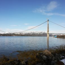
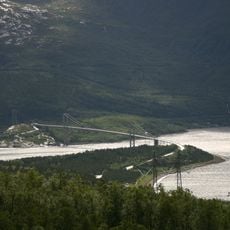
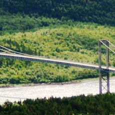
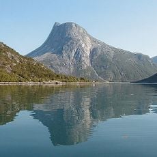
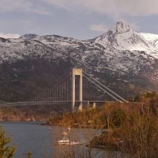
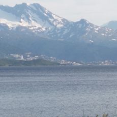
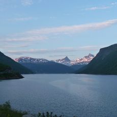
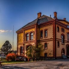
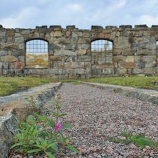
Rombaksbaai, Fjord in Narvik Municipality, Norway.

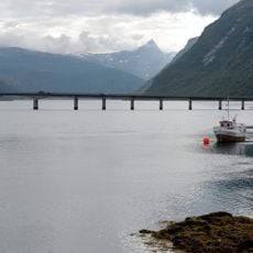
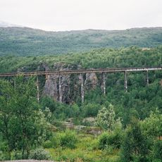
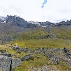
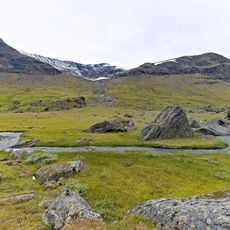
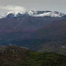
Rombaksbaai is a fjord extending through steep mountains with clear waters reaching depths of 344 meters. The waterway stretches approximately 20 kilometers and is framed by dramatic rock walls that rise sharply from the water's edge.

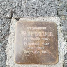
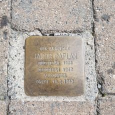
During World War II in 1940, this fjord became the site of a major naval battle. Multiple German destroyers and military vessels sank during the conflict in these waters.

The local Sámi people call this waterway Ruoppat, reflecting their long relationship with the natural formations found along this stretch of coast.

Major European routes E06 and E10 run along the northern shores, making the fjord easily accessible from regional communities. Various viewpoints and landing areas along the banks allow visitors to explore and experience the waterway from different angles.

The German destroyer Georg Thiele from World War II sits partially above the waterline near Rombaksbotn, making it visibly identifiable from the shore. This half-submerged warship stands alongside numerous other military vessels resting deeper below, creating an underwater memorial to the conflict.

The community of curious travelers

AroundUs brings together thousands of curated places, local tips, and hidden gems, enriched daily by 60,000 contributors worldwide.

Start exploring
Part of
Rombaken
GPS coordinates
68.41737,17.78618
Latest update
December 13, 2025 17:10
Reviews
Share your experience

No review yet

Discussions
Start a discussion...

No discussion yet

« Rombaksbaai - Fjord in Narvik Municipality, Norway » is provided by Around Us (aroundus.com). Images and texts are derived from Wikimedia project under a Creative Commons license. You are allowed to copy, distribute, and modify copies of this page, under the conditions set by the license, as long as this note is clearly visible.

Discover hidden gems everywhere you go!

From secret cafés to breathtaking viewpoints, skip the crowded tourist spots and find places that match your style. Our app makes it easy with voice search, smart filtering, route optimization, and insider tips from travelers worldwide. Download now for the complete mobile experience.

Around Us App Screenshot

A unique approach to discovering new places

Le Figaro

All the places worth exploring

France Info

A tailor-made excursion in just a few clicks

20 Minutes

Around Us
Travel Guide & Maps
Download

Send to your phone

QR Code
1

Open the camera app on your mobile.

2

Point at the QR code with your camera. A notification will appear.

3

Tap the notification to open the link.