
Eifladalsnuten, Berggipfel in Norwegen
Location: Gol Municipality
Elevation above the sea: 900 m
GPS coordinates: 60.65212,8.86479
Latest update: June 14, 2025 20:00

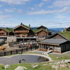
Langedrag Naturpark
23 km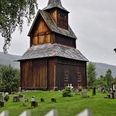
Torpo stave church
8.6 km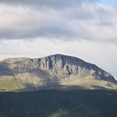
Skogshorn
27.2 km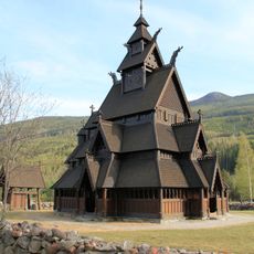
Gol new Stave Church
6.8 km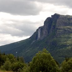
Hydnefossen
22.2 km
Pålsbufjorden
25.4 km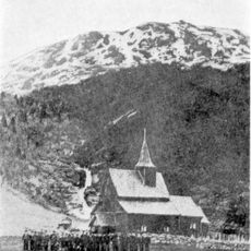
Hemsedal Stave Church
29.6 km
Hallingdal Museum
15.6 km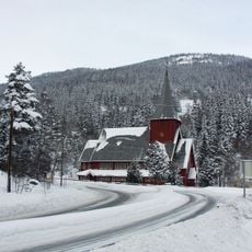
Hol Church
28.9 km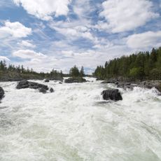
Godfarfossen
28.4 km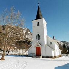
Hemsedal Church
28.5 km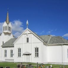
Nes Church
16.1 km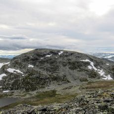
Fossebreen
28 km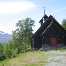
Lykkja kapell
25.8 km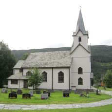
Torpo Church
8.6 km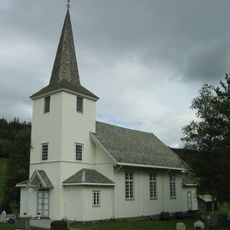
Leveld Church
20.4 km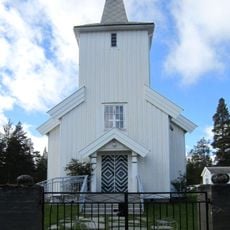
Tunhovd Church
22.6 km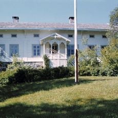
Hol prestegård
31.5 km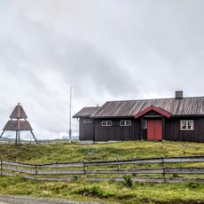
Nystølkyrkja
20.4 km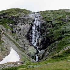
Fossen, Ål
26.7 km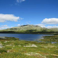
Såta, Ål and Hemsedal
23.8 km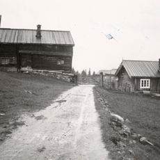
Finnesgard
5.8 km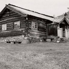
Røo (Råen)
30.1 km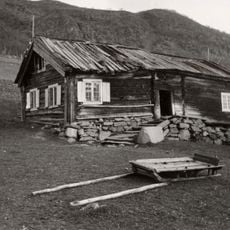
Settungsgardstugu (Settingsgard), Ål bygdamuseum
17.9 km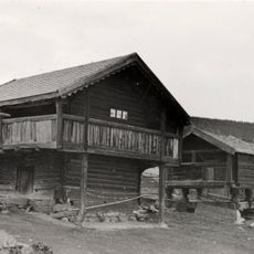
Oppheim
10.4 km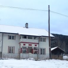
Hoftun øvre
9.6 km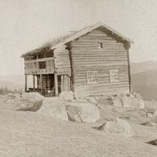
Nestegard (nestegård, i holet)
30.8 km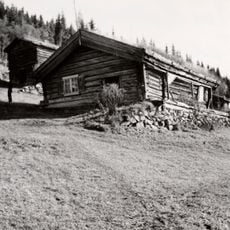
Thoenstua (Ton), Hallingdal museum
15.7 kmReviews
Visited this place? Tap the stars to rate it and share your experience / photos with the community! Try now! You can cancel it anytime.
Discover hidden gems everywhere you go!
From secret cafés to breathtaking viewpoints, skip the crowded tourist spots and find places that match your style. Our app makes it easy with voice search, smart filtering, route optimization, and insider tips from travelers worldwide. Download now for the complete mobile experience.

A unique approach to discovering new places❞
— Le Figaro
All the places worth exploring❞
— France Info
A tailor-made excursion in just a few clicks❞
— 20 Minutes