Daletind, Berggipfel in Norwegen
Location: Vågan Municipality
Elevation above the sea: 500 m
GPS coordinates: 68.23333,14.38333
Latest update: April 17, 2025 14:40
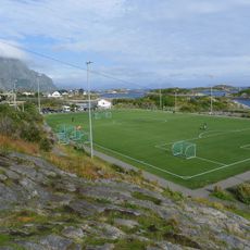
Henningsvær Stadion
12.1 km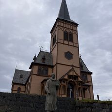
Vågan Church
4.6 km
Lofoten War Memorial Museum
7.5 km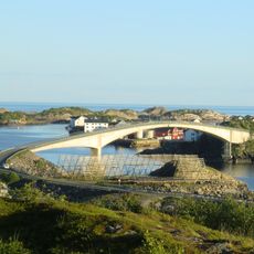
Henningsvær Bridges
10.8 km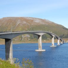
Gimsøystraumen Bridge
6.2 km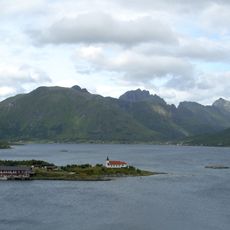
Austnesfjorden
13.5 km
Magic Ice Bar Svolvær
7.6 km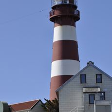
Skrova Lighthouse
14.2 km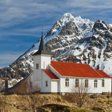
Sildpollnes Church
17 km
Lofotakvariet
3.9 km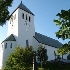
Svolvær Church
7.4 km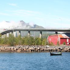
Svinøy Bridge
8 km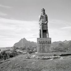
Øysteinstatue
4.7 km
Sundklakkstraumen Bridge
10.2 km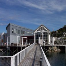
Lofotakvariet
4 km
KaviarFactory
11.5 km
Moholmen Lighthouse
8.5 km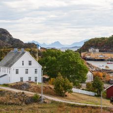
Lofotmuseet
4.1 km
Sildpollen
16.9 km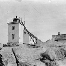
Henningsvær lighthouse
12.2 km
Brenna
10.7 km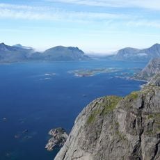
Festvågtinden
9 km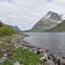
Vestpollen
17.1 km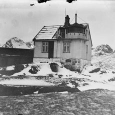
Ørsvåg fyr
4.4 km
Tjeldbergtinden
4.8 km
Gallery Lofoten
11.3 km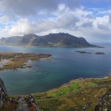
Hoven
15.7 km
Strømsodden
12.8 kmReviews
Visited this place? Tap the stars to rate it and share your experience / photos with the community! Try now! You can cancel it anytime.
Discover hidden gems everywhere you go!
From secret cafés to breathtaking viewpoints, skip the crowded tourist spots and find places that match your style. Our app makes it easy with voice search, smart filtering, route optimization, and insider tips from travelers worldwide. Download now for the complete mobile experience.

A unique approach to discovering new places❞
— Le Figaro
All the places worth exploring❞
— France Info
A tailor-made excursion in just a few clicks❞
— 20 Minutes