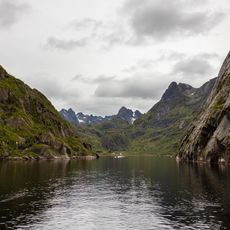
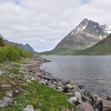
Austnesfjorden, Fjord in Vågan Municipality, Norway
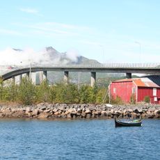
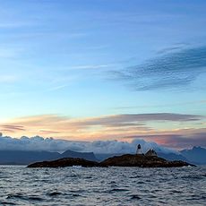
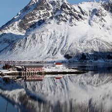
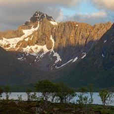
Austnesfjorden extends about 13 kilometers through Nordland county and divides the island of Austvågøya into distinct sections. The fjord is bordered by steep mountains that rise directly from the water, creating a dramatic alpine setting.
The fjord was shaped as a natural seawater inlet through glacial erosion during the ice age. The present landscape is the result of these geological processes that carved deep waterways between mountain massifs.
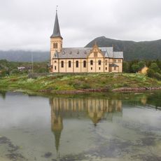
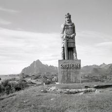
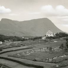
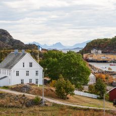
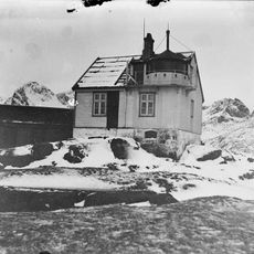
Laupstad village at the fjord's inner end shows how people have traditionally settled along these narrow coastal strips. The way buildings are positioned reflects how communities adapted their lives to the protected waterways and surrounding mountains.
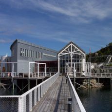
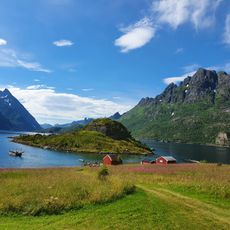
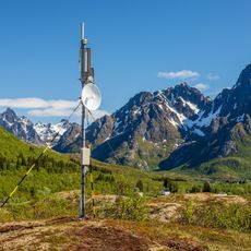
There is a rest area with year-round toilet facilities and special provisions for motorhomes available. A wooden walkway leads to observation points where you can view the fjord and surrounding mountains.
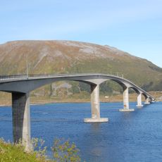
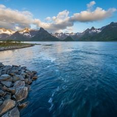
The fjord sits at about 68 degrees north latitude in the Arctic region, creating extreme daylight changes throughout the seasons. The European route E10 runs along the western shore and connects this remote area to the broader European road network.
The community of curious travelers
AroundUs brings together thousands of curated places, local tips, and hidden gems, enriched daily by 60,000 contributors worldwide.