
Brendamønet, Berggipfel in Norwegen
Location: Bjerkreim Municipality
Elevation above the sea: 838 m
GPS coordinates: 58.68132,6.55802
Latest update: March 26, 2025 11:43

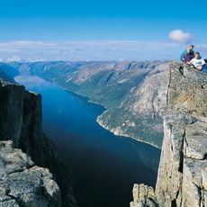
Lysefjord
38.3 km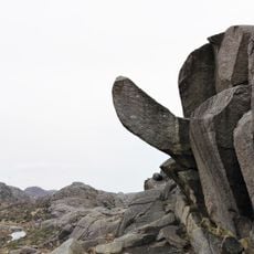
Trollpikken
36.4 km
Gloppedalsura
18.8 km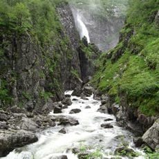
Månafossen
21.1 km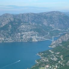
Lysefjord Bridge
38 km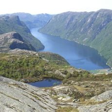
Frafjorden
28.6 km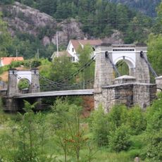
Bakke bridge
30.3 km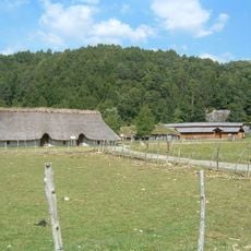
Landa
34.3 km
Gyland trevarefabrikk
35.4 km
Byrkjedalstunet
17.8 km
Lauvvik
37.5 km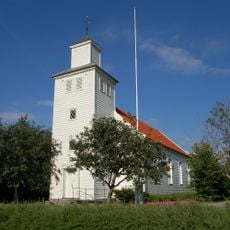
Gjesdal Church
36.8 km
Helleland Municipality
31.3 km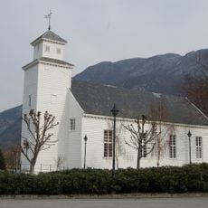
Forsand Church
36.1 km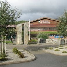
Forsand kulturhus
34.3 km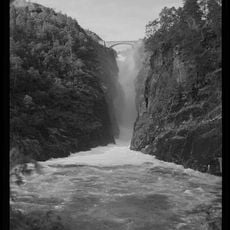
Dorgefossen
23.7 km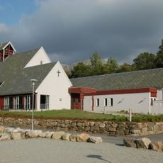
Oltedal Church
34.4 km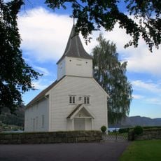
Lund Church
26 km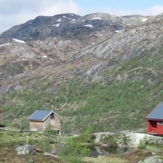
Blåfjellenden
27.5 km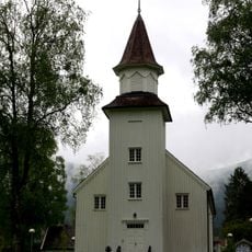
Tonstad church
9.3 km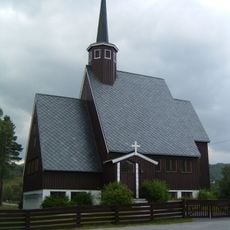
Kvævemoen Chapel
35.6 km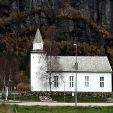
Lunde church
18.5 km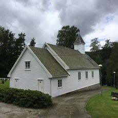
Haughom Chapel
14.4 km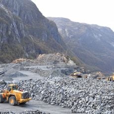
Norsk Stein Dirdal
28.4 km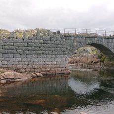
Kvibrua
36.9 km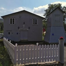
Knaben kapell
29.8 km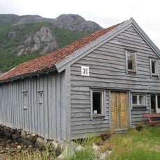
Sjøhuset i Bergevik
36.4 km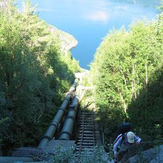
Flørlitrappene
37.3 kmReviews
Visited this place? Tap the stars to rate it and share your experience / photos with the community! Try now! You can cancel it anytime.
Discover hidden gems everywhere you go!
From secret cafés to breathtaking viewpoints, skip the crowded tourist spots and find places that match your style. Our app makes it easy with voice search, smart filtering, route optimization, and insider tips from travelers worldwide. Download now for the complete mobile experience.

A unique approach to discovering new places❞
— Le Figaro
All the places worth exploring❞
— France Info
A tailor-made excursion in just a few clicks❞
— 20 Minutes