
Hagafossen, Wasserfall in Norwegen
Location: Aurland Municipality
GPS coordinates: 60.89851,7.19815
Latest update: March 18, 2025 15:44

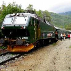
Flåm Line
6 km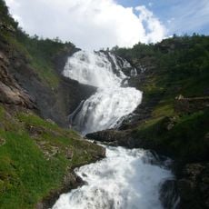
Kjosfossen
17.3 km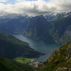
Aurlandsfjord
14.9 km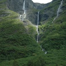
Kjelfossen
18.9 km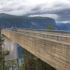
Stegastein
1.3 km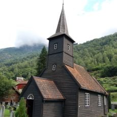
Flåm Church
8 km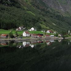
West Norwegian Fjords – Geirangerfjord and Nærøyfjord
14.1 km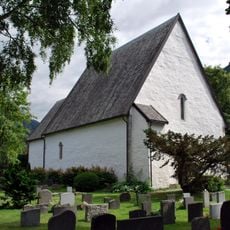
Vangen Church
989 m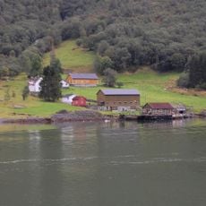
Styvi
15 km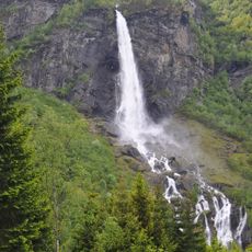
Rjoandefossen
9.6 km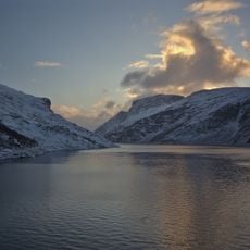
Viddalsdammen
9.6 km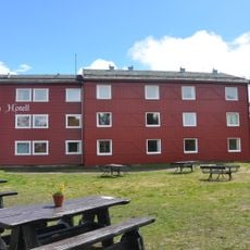
Vatnahalsen hotel
17.6 km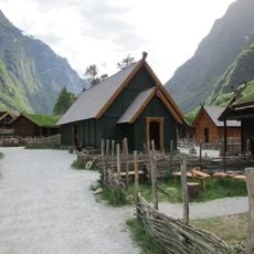
Viking Valley
19.4 km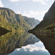
Nærøyfjorden
13.3 km
Alvsnosi
23.7 km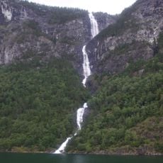
Lægdafossen
14 km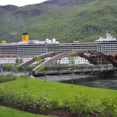
Fretheim bru
5.8 km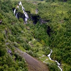
Myrdalsfossen
18 km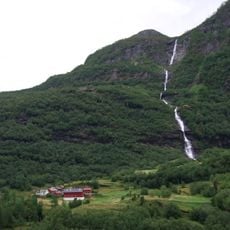
Tunshellefossen
12.6 km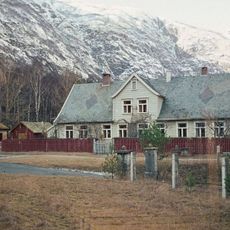
Lærdal prestegård
24.8 km
Synneva Eris hus, Husfred
27 km
Kringle
10.6 km
Myrdalsleitet forsamlingshus - Bergensbanen - Flåmsbanen
18.2 km
Svarven
12.8 km
Stølshaugen, Uppsete
21.9 km
Skjerdalshus
1.1 km
Bjørndalen
12.2 km
Seltuftberget brakke - Bergensbanen
18.9 kmReviews
Visited this place? Tap the stars to rate it and share your experience / photos with the community! Try now! You can cancel it anytime.
Discover hidden gems everywhere you go!
From secret cafés to breathtaking viewpoints, skip the crowded tourist spots and find places that match your style. Our app makes it easy with voice search, smart filtering, route optimization, and insider tips from travelers worldwide. Download now for the complete mobile experience.

A unique approach to discovering new places❞
— Le Figaro
All the places worth exploring❞
— France Info
A tailor-made excursion in just a few clicks❞
— 20 Minutes