West Norwegian Fjords – Geirangerfjord and Nærøyfjord, UNESCO World Heritage fjords in Western Norway
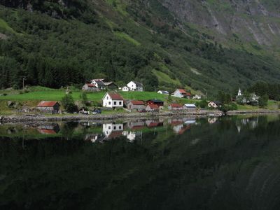
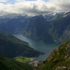
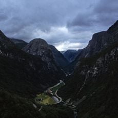
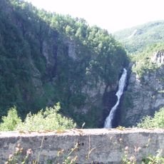
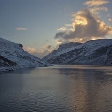
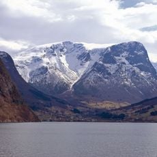
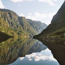
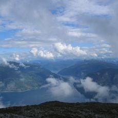
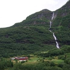
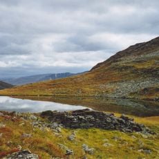
The Geirangerfjord and Nærøyfjord are two waterways that cut deep into Western Norway, framed by vertical rock walls and surrounded by mountains rising steeply from the water's edge. These valleys feature numerous waterfalls cascading down the mountainsides and small flat areas clinging to the slopes where settlements and farmland nestle.
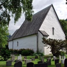
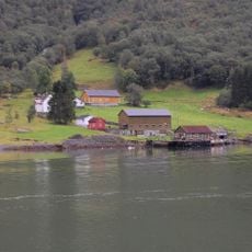
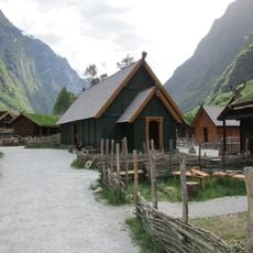
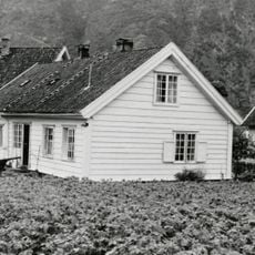
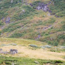
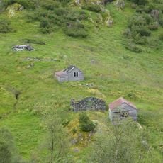
These fjords were shaped during the ice ages when massive glaciers carved deep valleys into the mountain terrain. Over the centuries, hardy communities established farms in remote locations, adapting to the challenging geography and limited accessibility of these waterways.
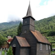
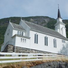
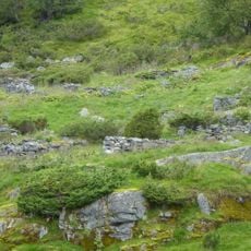
The local people have developed a strong connection to these waterways through generations of fishing and small-scale farming on steep hillsides. This relationship shapes how communities today welcome visitors while maintaining their traditional way of life in harmony with the dramatic landscape.
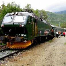
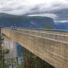
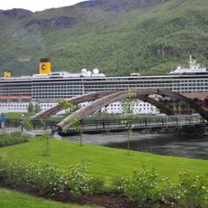
Visitors reach these fjords best by boat, with ferry services operating most frequently from late spring through early fall. The landscape is fully accessible during the warmer months, while winter travel requires careful planning due to limited services and unpredictable mountain weather.
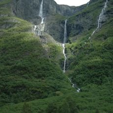
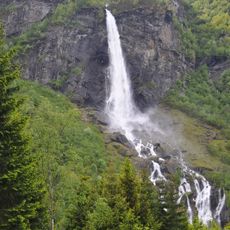
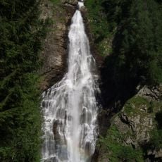
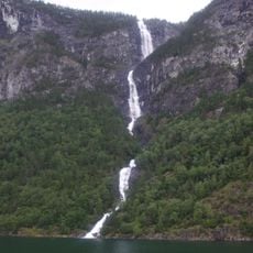
The famous Seven Sisters waterfall cascades down a single cliff face with multiple parallel streams flowing side by side, creating a rare visual pattern. This sight becomes most dramatic following heavy rainfall, when the volume of falling water multiplies across the mountainside.
The community of curious travelers
AroundUs brings together thousands of curated places, local tips, and hidden gems, enriched daily by 60,000 contributors worldwide.