Storhøgda, قمة جبل في روروس، النرويج
Location: Røros Municipality
GPS coordinates: 62.55818,11.76727
Latest update: November 15, 2025 05:20
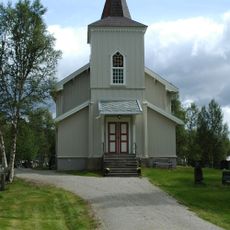
Brekken Church
11.3 km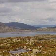
Bolagen
17.7 km
Røros fjellkirke
18.9 km
Flensmarka
14.7 km
Sakrisodden
18.5 km
Langtjønna
11 km
Mølmannsdalen
15.4 km
Vaudalshøgda
16.7 km
Støten (tumoy sa bukid)
15.2 km
Hyddfossen
16.5 km
Sølendet
14.6 km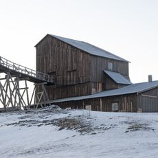
Olavsgruva
13.2 km
Tverrviglen
13.5 km
Storfossen
13.5 km
Nedre Storwartz
14.3 km
Gruvsjøhøgda
18.3 km
Borgfossen
10.6 km
Øvre Storwartz
14 km
Steinbrudd
16.6 km
Vauldalen tidligere tollstasjon
16.3 km
Summit, hill, scenic viewpoint, mountain
17.2 km
Stor-Gråberget
14.7 km
Storvarden
18.3 km
Scenic viewpoint
12.3 km
Skallhaugen
10.3 km
Scenic viewpoint
14.8 km
Waterfall
18.3 km
Waterfall
12.8 kmReviews
Visited this place? Tap the stars to rate it and share your experience / photos with the community! Try now! You can cancel it anytime.
Discover hidden gems everywhere you go!
From secret cafés to breathtaking viewpoints, skip the crowded tourist spots and find places that match your style. Our app makes it easy with voice search, smart filtering, route optimization, and insider tips from travelers worldwide. Download now for the complete mobile experience.

A unique approach to discovering new places❞
— Le Figaro
All the places worth exploring❞
— France Info
A tailor-made excursion in just a few clicks❞
— 20 Minutes