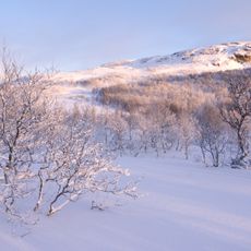
Steinbrudd
Location: Røros Municipality
GPS coordinates: 62.42020,11.88917
Latest update: November 1, 2025 07:51
Femundsmarka National Park
25.5 km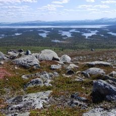
Rogen Nature Reserve
27.5 km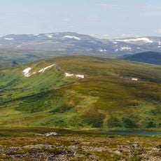
Hamrafjället
26.1 km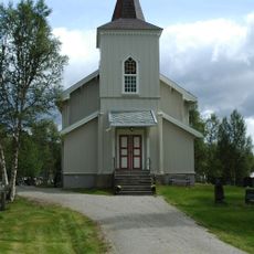
Brekken Church
25.3 km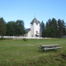
Elgå Church
28.4 km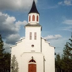
Narbuvoll Church
23.1 km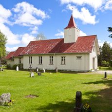
Tufsingdal Chapel
15.7 km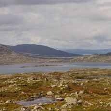
Bolagen
19.6 km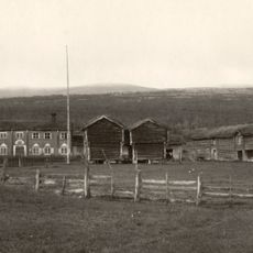
Narjordet søndre (Oddentunet), Os museum
24.8 km
Nedre Storwartz
29.5 km
Olavsgruva
28.8 km
Tännäs 526:1
26.1 km
Käringstenen
26.8 km
Gammele skola husflid
15.8 km
Skallhaugen
24.7 km
Scenic viewpoint
29.9 km
Ulvstugguhaugen
30.4 km
Stor-Gråberget
25.2 km
Storvarden
27.5 km
Scenic viewpoint
24.9 km
Femundsmarka National Park
10.6 km
Scenic viewpoint
25.1 km
Scenic viewpoint
12.2 km
Scenic viewpoint
12.1 km
Scenic viewpoint
12.4 km
Scenic viewpoint
22.5 km
Scenic viewpoint
24.9 km
Scenic viewpoint
22.7 kmReviews
Visited this place? Tap the stars to rate it and share your experience / photos with the community! Try now! You can cancel it anytime.
Discover hidden gems everywhere you go!
From secret cafés to breathtaking viewpoints, skip the crowded tourist spots and find places that match your style. Our app makes it easy with voice search, smart filtering, route optimization, and insider tips from travelers worldwide. Download now for the complete mobile experience.

A unique approach to discovering new places❞
— Le Figaro
All the places worth exploring❞
— France Info
A tailor-made excursion in just a few clicks❞
— 20 Minutes