
Soløyheia, قمة جبل في لافانغن، النرويج
Location: Lavangen Municipality
GPS coordinates: 68.80100,17.89050
Latest update: March 14, 2025 01:40
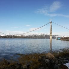
Hålogaland Bridge
40.9 km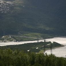
Rombaken
39.9 km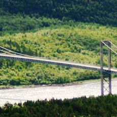
Rombak Bridge
40.7 km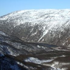
Rombaksbaai
42.9 km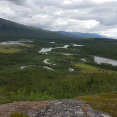
Vadvetjåkka National Park
36.2 km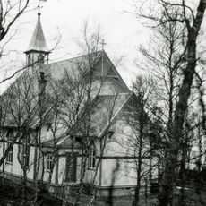
Tovik Church
43.1 km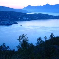
Vågsfjorden
40.4 km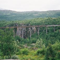
Norddalsbrua
41.8 km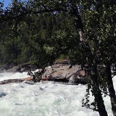
Målselvfossen
40.2 km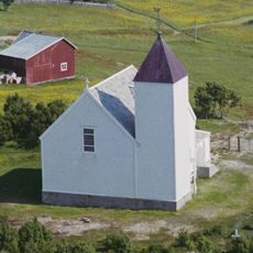
Andørja Church
33.9 km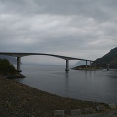
Mjøsund Bridge
19.9 km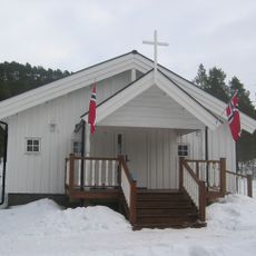
Hergot Chapel
39.7 km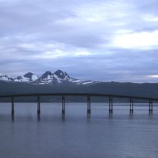
Gratangen
22.4 km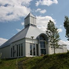
Sørreisa Church
42.4 km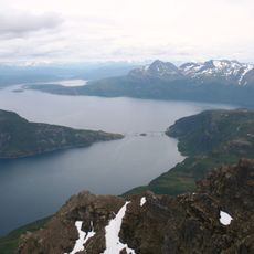
Salangen
16.3 km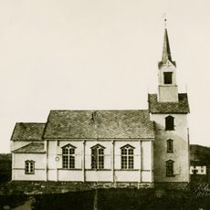
Stonglandet Church
42.5 km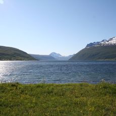
Lavangen
12.1 km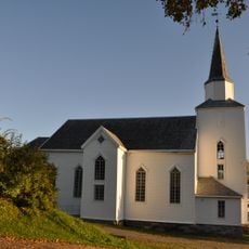
Dyrøy Church
30.8 km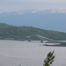
Dyrøy Bridge
34.2 km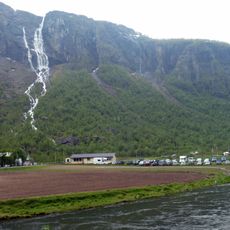
Henrikkafossen
9.8 km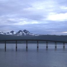
Årsteinbrua
18.8 km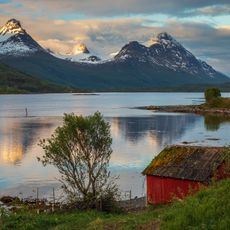
Grovfjorden
35.1 km
Reisfjorden
39.7 km
Sagfjorden
10.4 km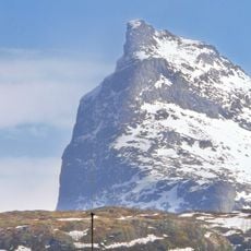
Rombakstøtta
42.7 km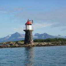
Stonglandseidet lighthouse
41.4 km
Herjangen
34.4 km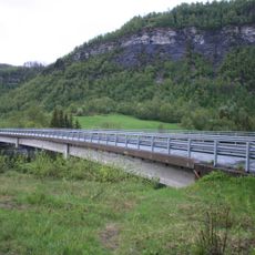
Strokkenesbrua
8.4 kmReviews
Visited this place? Tap the stars to rate it and share your experience / photos with the community! Try now! You can cancel it anytime.
Discover hidden gems everywhere you go!
From secret cafés to breathtaking viewpoints, skip the crowded tourist spots and find places that match your style. Our app makes it easy with voice search, smart filtering, route optimization, and insider tips from travelers worldwide. Download now for the complete mobile experience.

A unique approach to discovering new places❞
— Le Figaro
All the places worth exploring❞
— France Info
A tailor-made excursion in just a few clicks❞
— 20 Minutes