
Gåsøya, protected area in Norway
Location: Bærum Municipality
GPS coordinates: 59.85520,10.58750
Latest update: August 20, 2025 21:57

Henie-Onstad Art Centre
4.2 km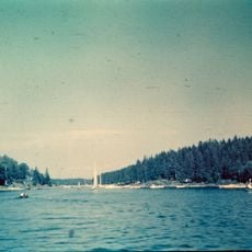
Middagsbukta
2.7 km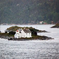
Steilene lighthouse
4.3 km
Nesøytjern
3.6 km
Terneholmen
2.9 km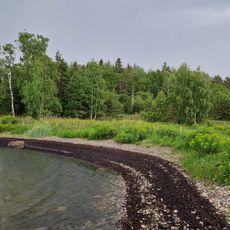
Lilleøya
4.3 km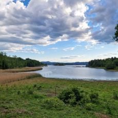
Storøykilen nature reserve
4.4 km
Oust
2.1 km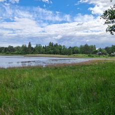
Viernbukta
2.4 km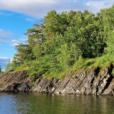
Kalvøya
4.4 km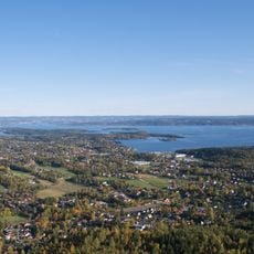
Holmenfjorden
4.4 km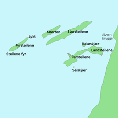
Knerten
4.2 km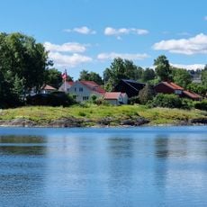
Sandholmen
3.6 km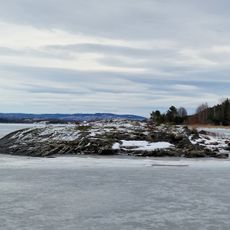
Prinseskjær
2.6 km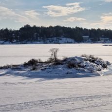
Alv
3.2 km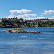
Dokkskjæret
3.7 km
Torvøya og Bjerkholmen
3.4 km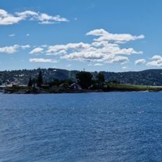
Geitholmen
4 km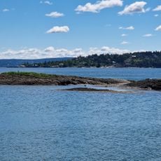
Møkkalassene
3.2 km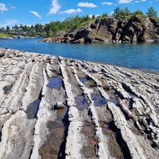
Kongshavn
2.5 km
Vendelholmene
2.8 km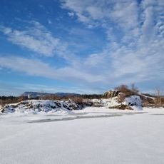
Langskjær
3.7 km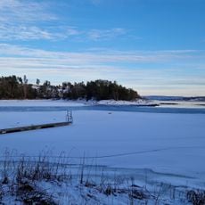
Paradisbukta
2.3 km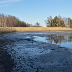
Koksabukta Nature Reserve
3.7 km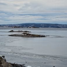
Svartskjæra
1.5 km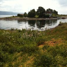
Ytre Vassholmen
2.8 km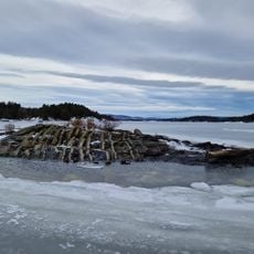
Naturreservat sør for Furuholmen
3 km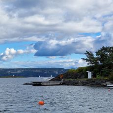
Konglungen
4.4 kmReviews
Visited this place? Tap the stars to rate it and share your experience / photos with the community! Try now! You can cancel it anytime.
Discover hidden gems everywhere you go!
From secret cafés to breathtaking viewpoints, skip the crowded tourist spots and find places that match your style. Our app makes it easy with voice search, smart filtering, route optimization, and insider tips from travelers worldwide. Download now for the complete mobile experience.

A unique approach to discovering new places❞
— Le Figaro
All the places worth exploring❞
— France Info
A tailor-made excursion in just a few clicks❞
— 20 Minutes