
Skåreholmen, protected area in Norway
Location: Haugesund Municipality
GPS coordinates: 59.43100,5.20300
Latest update: March 15, 2025 05:40
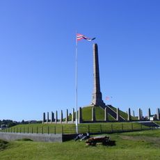
Haraldshaugen
3.2 km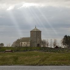
Church of Avaldsnes
9.8 km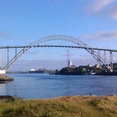
Karmsund Bridge
8.1 km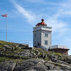
Ryvarden Lighthouse
10.8 km
Haugesund City Hall
4.7 km
Vår Frelsers Church
4.2 km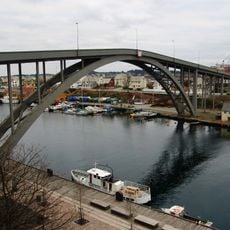
Risøybroa
4.4 km
Festiviteten
4.6 km
Førdesfjorden
12.5 km
Haugesund folkebibliotek
4.3 km
Grønhaug
8.5 km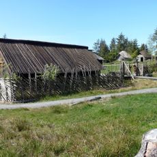
Vikinggarden Avaldsnes
10.4 km
Udland Church
3.9 km
Arquebus krigshistorisk museum
10.3 km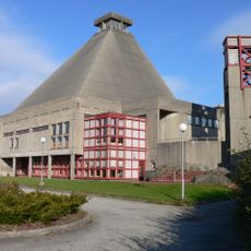
Rossabø Church
6 km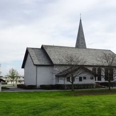
Norheim Church
8.3 km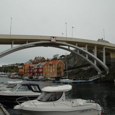
Bakerøybrua
3.7 km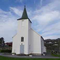
Førre Church
10.1 km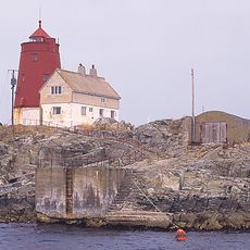
Røværsholmen Lighthouse
7.9 km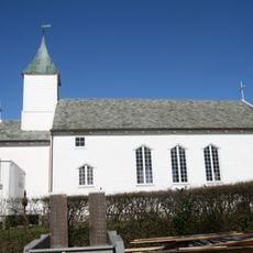
Hausken Church
8.8 km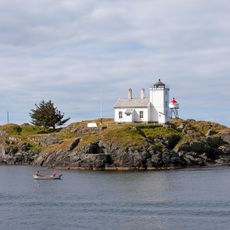
Sørhaugøy fyr
2.2 km
Christiansenhuset
3.8 km
Viksefjorden
7.9 km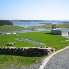
Nordvegen Historiesenter
9.9 km
Karmsund Folkemuseum
4.3 km
Torvastad prestegård
5.7 km
Grønhaug
8.5 km
Reheia
8.6 kmReviews
Visited this place? Tap the stars to rate it and share your experience / photos with the community! Try now! You can cancel it anytime.
Discover hidden gems everywhere you go!
From secret cafés to breathtaking viewpoints, skip the crowded tourist spots and find places that match your style. Our app makes it easy with voice search, smart filtering, route optimization, and insider tips from travelers worldwide. Download now for the complete mobile experience.

A unique approach to discovering new places❞
— Le Figaro
All the places worth exploring❞
— France Info
A tailor-made excursion in just a few clicks❞
— 20 Minutes