
Kolarødknatten
Location: Sandefjord Municipality
GPS coordinates: 59.28260,10.21375
Latest update: April 7, 2025 02:37
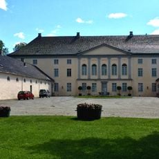
Jarlsberg Manor
9.8 km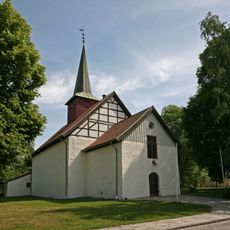
Sem Church
9.9 km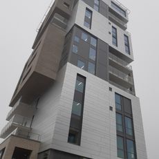
Signaturen
10.8 km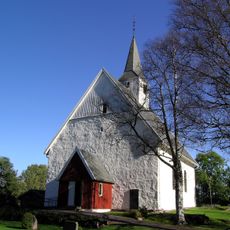
Andebu Church
3.5 km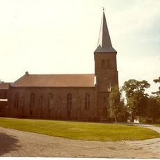
Stokke Church
8.7 km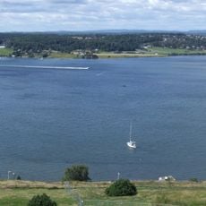
Byfjorden
9.9 km
Vear Church
8.7 km
Gullkronene
9.3 km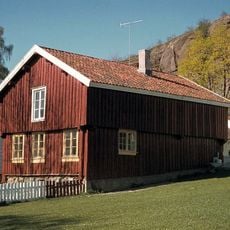
Bentegården
10.7 km
Farmannshaugen
9.8 km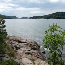
Vestfjorden
10.2 km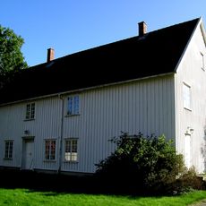
Andebu prestegård
3.6 km
Ramnes prestegård
6.5 km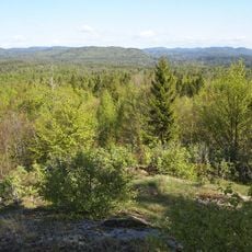
Flisefyr og Hidalen
9.6 km
Melsomvikkirken
9.7 km
Akersvannet
7.6 km
Nordre Skarsholttjønn
6.7 km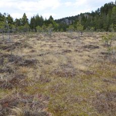
Veggermyra
7.5 km
Melsom
10 km
Ilene
9.7 km
Robergvannet
9.1 km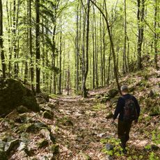
Dalaåsen
10.3 km
Himberg
6.6 km
Storås og Spirås
8.1 km
Langrudmyra
9.7 km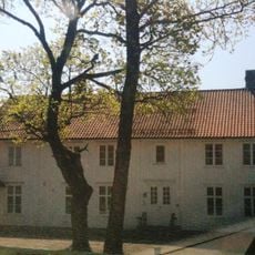
Stokke Parsonage
8.7 km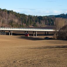
Eikebergmyrbrua
10.1 km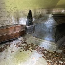
Det Wedelske gravkapell
9.9 kmReviews
Visited this place? Tap the stars to rate it and share your experience / photos with the community! Try now! You can cancel it anytime.
Discover hidden gems everywhere you go!
From secret cafés to breathtaking viewpoints, skip the crowded tourist spots and find places that match your style. Our app makes it easy with voice search, smart filtering, route optimization, and insider tips from travelers worldwide. Download now for the complete mobile experience.

A unique approach to discovering new places❞
— Le Figaro
All the places worth exploring❞
— France Info
A tailor-made excursion in just a few clicks❞
— 20 Minutes