
Bingen østre, rock art in Lillestrøm municipality, Akershus, Norway
Location: Lillestrøm Municipality
GPS coordinates: 59.99024,11.26121
Latest update: March 10, 2025 22:23

Fetsund Booms
9.8 km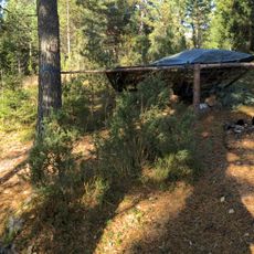
Rudskulen
7.5 km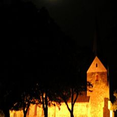
Skedsmo Church
12 km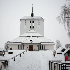
Ullensaker Church
11.7 km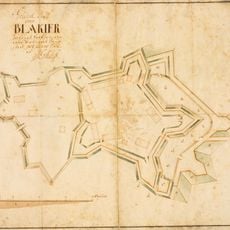
Blaker Fortress
2.9 km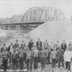
Fetsund Bridge
8.5 km
Sørum Church
2.3 km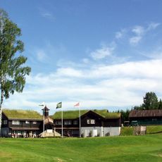
Miklagard Golf
11.5 km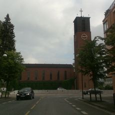
Lillestrøm Church
12.4 km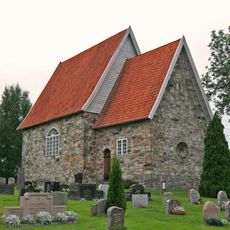
Old Frogner Church
9.3 km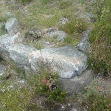
Bakås skanse
3.1 km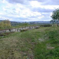
Fetsund Battery
9 km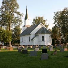
Blaker Church
2.6 km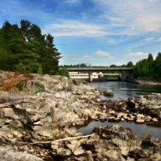
Bingsfossen
147 m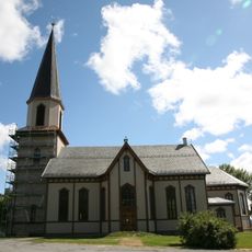
Fet Church
10 km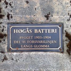
Høgaas batteri
11.9 km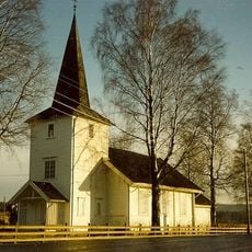
Auli Church
9.2 km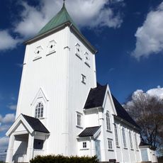
New Frogner Church
9.3 km
Skedsmo prestegård
12.1 km
Sørumsneset
11.3 km
Sørum prestegård
2.6 km
Besøkssenter våtmark Nordre Øyeren
10.3 km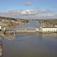
Rånåsfossen
5.3 km
Ullensaker prestegård
11.5 km
Fet prestegård
9.9 km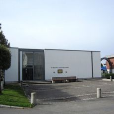
St. Magnus Church
11.9 km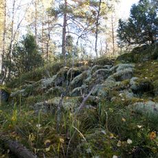
Skansen
7.7 km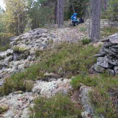
Vesteråsen
5 kmReviews
Visited this place? Tap the stars to rate it and share your experience / photos with the community! Try now! You can cancel it anytime.
Discover hidden gems everywhere you go!
From secret cafés to breathtaking viewpoints, skip the crowded tourist spots and find places that match your style. Our app makes it easy with voice search, smart filtering, route optimization, and insider tips from travelers worldwide. Download now for the complete mobile experience.

A unique approach to discovering new places❞
— Le Figaro
All the places worth exploring❞
— France Info
A tailor-made excursion in just a few clicks❞
— 20 Minutes