
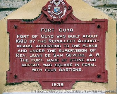
Fort Cuyo historical marker
Fort Cuyo historical marker, PHC historical marker for Fort Cuyo
Location: კუიო
Inception: 1939
Creator: National Historical Commission of the Philippines
Made from material: cast iron
Address: Rizal Street
GPS coordinates: 10.85552,121.00832
Latest update: March 14, 2025 18:30
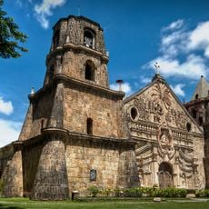
Baroque Churches of the Philippines
136.3 km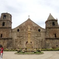
Miagao Church
136.3 km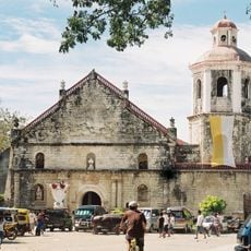
San Joaquin Church
127.5 km
Northwest Panay Peninsula Natural Park
149.7 km
Maniguin Island lighthouse
111.7 km
Kayangan Lake View Deck
149.5 km
Coron Island Protected Area
147.6 km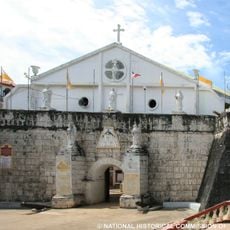
Fort Cuyo
23 m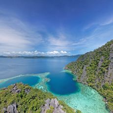
Twin Lagoon
149.6 km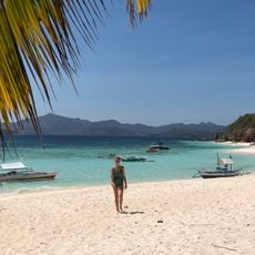
Malcapuya Island
142.7 km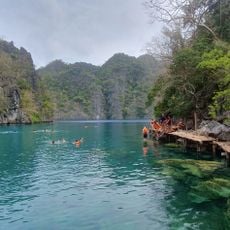
Kayangan Lake
149.5 km
Kayangan Lake
149.4 km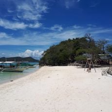
Bulog Dos Island
140.4 km
Hamtic Church
107.7 km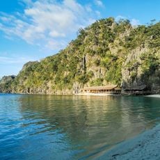
Atwayan Beach
149.6 km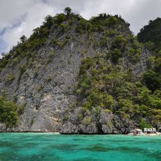
Beach 91
150.4 km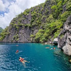
Barracuda Lake
149.8 km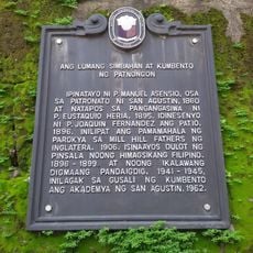
The Old Church and Convent of Patnongon historical marker
107.9 km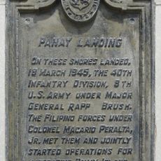
Panay Landing historical marker
150.1 km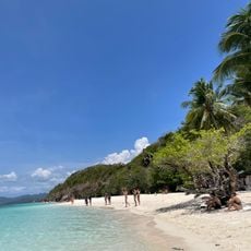
Malcapuya Island Beach Resort
142.6 km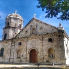
Anini-y Church
110.9 km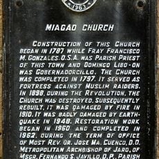
Miagao Church historical marker
136.3 km
Church of Miag-ao historical marker
136.3 km
San Jose Cathedral
102.9 km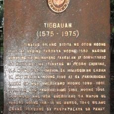
Tigbauan historical marker
150.9 km
Ditaytayan Beach
139.7 km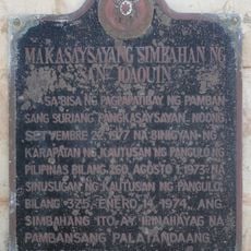
Historic Church of San Joaquin historical marker
127.5 km
Calachuchi Beach
150.1 kmReviews
Visited this place? Tap the stars to rate it and share your experience / photos with the community! Try now! You can cancel it anytime.
Discover hidden gems everywhere you go!
From secret cafés to breathtaking viewpoints, skip the crowded tourist spots and find places that match your style. Our app makes it easy with voice search, smart filtering, route optimization, and insider tips from travelers worldwide. Download now for the complete mobile experience.

A unique approach to discovering new places❞
— Le Figaro
All the places worth exploring❞
— France Info
A tailor-made excursion in just a few clicks❞
— 20 Minutes