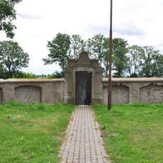
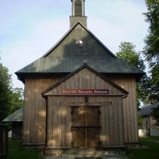
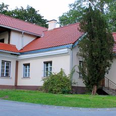
Błonie, Municipality in Masovian Voivodeship, Poland
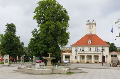
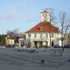
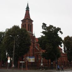
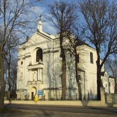
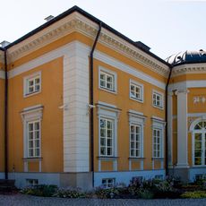
Błonie is a city in Masovian Voivodeship, located about 30 kilometers west of Warsaw, where residential areas, municipal buildings, and a central square are set within flat agricultural landscapes. The layout combines traditional structures with modern facilities that serve daily community life.
The settlement originated in the 8th century and received town rights in 1338 from Duke Władysław of Kraków, making Błonie a royal town in the Polish-Lithuanian Commonwealth. This status opened the town to commerce and craft industries that shaped its growth for centuries afterward.
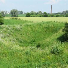
The town's name comes from the Slavic word for meadow, reflecting its origins in open agricultural lands that still surround the area today. Residents gather regularly at the central square for markets and local festivals that bring together families and shopkeepers throughout the year.
The railway station connects the town to major Polish centers through regular train services, providing access to Warsaw and other regions. Local buses serve the surrounding communities and enable exploration of the agricultural areas beyond the town center.
In the 16th century, the town gained recognition for its shoemaking trade and hosted five major annual fairs that drew merchants and craftspeople from across the region. These trading events made Błonie an important commercial hub far beyond its immediate surroundings.
The community of curious travelers
AroundUs brings together thousands of curated places, local tips, and hidden gems, enriched daily by 60,000 contributors worldwide.